
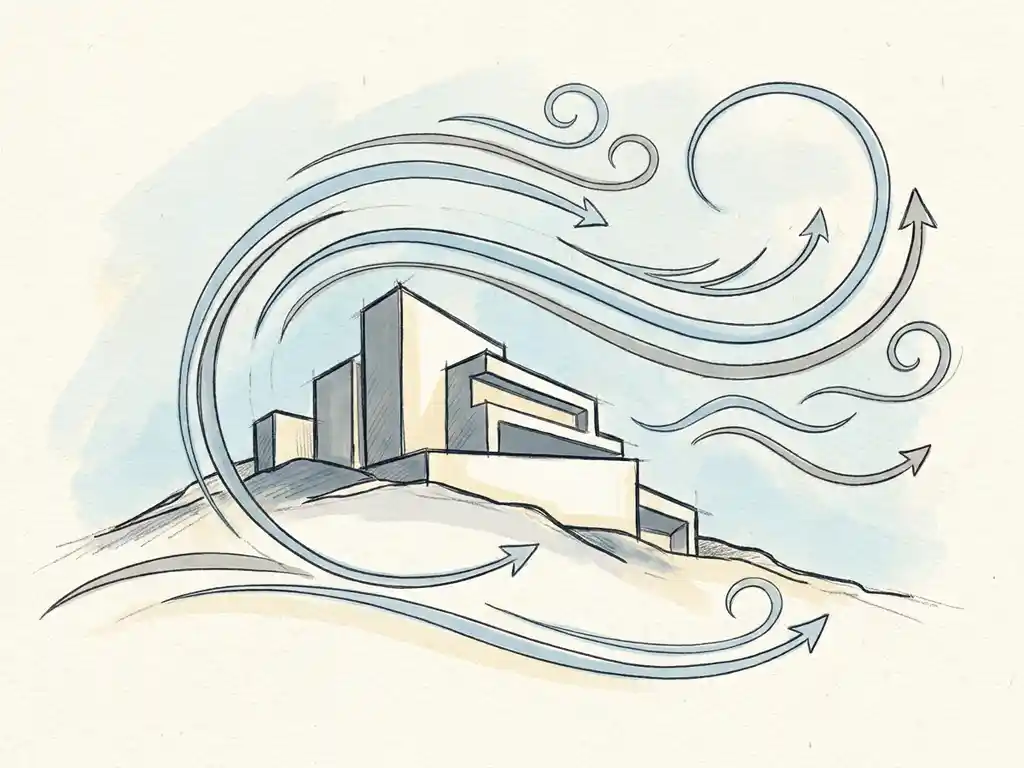
A wind assessment involves measuring and simulating how wind behaves around a building or development, then classifying those conditions against a recognised comfort or safety standard. The process typically combines a 3D model of your site and its surroundings, a CFD simulation or wind tunnel test, and a final report with colour-coded maps showing where wind conditions are acceptable and where they are not. Most assessments take between two and six weeks, depending on the scale and complexity of the project. The sections below answer the most common questions developers ask before commissioning a study.
What information does a developer need to provide for a wind study?
To start a wind assessment, you need to provide a 3D model or detailed drawings of your proposed building, information about the surrounding built environment, and the intended uses of the outdoor spaces around the development. The more complete your input, the faster and more accurate the assessment will be.
In practice, the most useful materials to share at the start of a project are:
- Architectural drawings or a 3D model of the proposed building, including height, footprint, and any planned setbacks or recesses
- Site location so that existing buildings, terrain, and local wind climate data can be incorporated
- Intended use of outdoor spaces — terraces, entrances, play areas, cycling routes — because comfort requirements differ by activity
- Project phase and planning timeline, so the assessment method and reporting format can be matched to what the permit authority needs
You do not need to have a finalised design. In fact, starting earlier gives you more room to act on the results. Geodata for the surrounding area, including existing and permitted buildings, is typically sourced directly from public datasets and does not need to come from you.
What are the different types of wind assessments for buildings?
There are three main types of wind assessments for building projects: a pedestrian wind comfort study, a wind loading assessment, and a large-scale area study. Each answers a different question and serves a different purpose in the design and permitting process.
A pedestrian wind comfort study looks at how wind conditions at ground level affect the people who will use the spaces around a building. It classifies locations by activity — sitting, walking, cycling — and flags areas where conditions fall below the acceptable threshold for that use. This type of study is most relevant for developers of residential buildings, mixed-use schemes, and public squares.
A wind loading assessment focuses on the forces that wind exerts on a building’s facade and structure. It is used by structural engineers and cladding contractors to verify that the building can withstand peak wind loads, and is typically required as part of a building permit application. The relevant standard in Europe is Eurocode EN1991-1-4.
A large-scale area study covers an entire urban district or masterplan rather than a single building. These studies are used by municipalities and urban planners to understand how a cluster of new developments will affect wind conditions across a neighbourhood. They rely on CFD simulation because a physical wind tunnel cannot accommodate the scale involved. Our wind engineering services cover all three types, from a single high-rise to city-wide assessments like the one we carried out for the city of Rotterdam.
When is a wind assessment legally required for a building project?
In the Netherlands, a wind assessment is legally required when a building project is subject to NEN 8100, which applies to buildings or developments where wind conditions at publicly accessible outdoor spaces may affect comfort or safety. In practice, this means most high-rise buildings, large mixed-use developments, and area developments in urban environments will need one as part of the permit application.
The trigger is not always a specific building height. Permit authorities can require a wind study whenever there is a reasonable expectation that the development will change local wind conditions in a meaningful way. A building that is more than twice as tall as its immediate surroundings, for example, is likely to generate downwash and corner acceleration that affects pedestrians at street level.
For projects outside the Netherlands, the Lawson criteria are the most widely used standard, and are applied in the UK, Gibraltar, and many other jurisdictions. Some UK local planning authorities, including the City of London and Leeds, have their own specific wind assessment requirements that go beyond the general Lawson framework.
If you are unsure whether your project requires a formal assessment, an expert opinion or desk study is a low-cost way to get a qualified view before committing to a full study.
How long does a wind assessment take to complete?
A standard wind assessment for a single building takes between two and four weeks from the moment all input materials are available. Larger or more complex projects, such as masterplan assessments or studies that require wind tunnel testing, typically take four to six weeks or longer.
The main factors that affect turnaround time are the scale of the area being studied, the complexity of the 3D model, the number of wind directions that need to be simulated, and whether the permit authority requires additional documentation such as an Environmental Statement chapter.
Starting early in the design process has a direct effect on how useful the results are. A study delivered during concept design gives you time to adjust building orientation, massing, or facade geometry before those decisions are locked in. A study delivered just before permit submission can still flag problems, but the options for solving them are more limited and more expensive to implement.
What does a wind assessment report actually show?
A wind assessment report shows colour-coded maps of wind conditions across the site, a classification of each outdoor area against the relevant comfort or safety standard, and practical conclusions about where conditions are acceptable and where they are not. The maps are designed to be shared directly with clients, planners, and permit authorities without requiring technical expertise to interpret.
For a pedestrian wind comfort study under NEN 8100, the report will classify each location into one of five classes — from A (calm, suitable for sitting) to E (dangerous, not suitable for any use). Areas that fall into class D or E for their intended use will be flagged as requiring mitigation.
The report also typically includes:
- Wind roses showing the prevailing wind directions and their frequency
- Velocity maps at pedestrian height for the most relevant wind directions
- An explanation of the simulation methodology and the input data used
- Recommendations for design adjustments if problem areas are identified
Our CFD simulations use advanced virtual wind tunnel technology, producing output that translates complex airflow patterns into visuals that work directly in planning presentations and permit submissions. You can find an overview of our approach on the Actiflow homepage.
What happens when a wind assessment reveals a problem?
When a wind assessment identifies areas where conditions exceed the acceptable threshold, the next step is to evaluate design modifications that can reduce wind speeds at those locations. In most cases, problems found early in the design process can be resolved without major changes to the building’s overall form.
The standard approach to mitigation follows a hierarchy, starting with the most effective interventions at the urban planning level and working down to local measures in the immediate surroundings:
- Urban layout and building placement — adjusting the spacing, orientation, or grouping of buildings to reduce wind acceleration between them
- Building volume and orientation — rotating the building, narrowing the facade facing the prevailing wind direction, or introducing setbacks at key heights
- Architectural features — adding canopies, covered walkways, or aerodynamic shaping to the facade to redirect downwash away from pedestrian areas
- Landscape and public space design — using planting, screens, or changes in ground level to improve comfort at specific locations
One useful rule of thumb: a setback needs to be at least five metres deep to meaningfully redirect downwash on a building around 100 metres tall. Canopies are less effective than setbacks because they tend to shift the problem to the edge of the canopy rather than eliminating it.
If wind problems are only discovered at the permit stage, the options narrow considerably. Structural changes to a near-finalised design are costly, and landscape measures alone are rarely sufficient to resolve serious wind hazard conditions. This is why the design hierarchy matters: solving wind problems at the building volume level is far more effective than trying to patch them with street furniture after the fact.
How Actiflow helps with wind assessments
We have been carrying out wind assessments since 2005, working with real estate developers, architects, structural engineers, and municipalities across the Netherlands, Belgium, the UK, Gibraltar, and beyond. Our team knows the regulatory landscape — NEN 8100 for Dutch projects, Lawson for international work, and the specific requirements of individual planning authorities — so you do not have to navigate that alone.
Here is what working with us looks like in practice:
- We advise on the right study type from the start, so you commission exactly what the permit authority needs and nothing more
- We build the 3D model and source surrounding geodata, so your input requirements are kept to a minimum
- We run CFD simulations using our own validated algorithms and high-performance computing infrastructure, producing colour-coded maps that work directly in planning presentations
- We flag mitigation options early and can re-run simulations to verify that proposed design changes actually solve the problem
- We are known for speed and flexibility — for regular clients, we can set everything aside and start the next day if a deadline demands it
- We handle projects at every scale, from a single tower to city-wide area studies like our work for the city of Rotterdam
Curious how we can help with your wind assessment? Contact us and we will be happy to discuss your project and help you find the right approach. You can also learn more about us and our background in fluid dynamics engineering.
Related Articles
- How does CFD improve the accuracy of a wind assessment?
- How early should pedestrian wind comfort be assessed in design?
- How does pedestrian wind comfort affect public space usability?
- Which 6 urban design features help reduce harmful wind speed?
- How does vegetation reduce wind speed around public spaces?
