
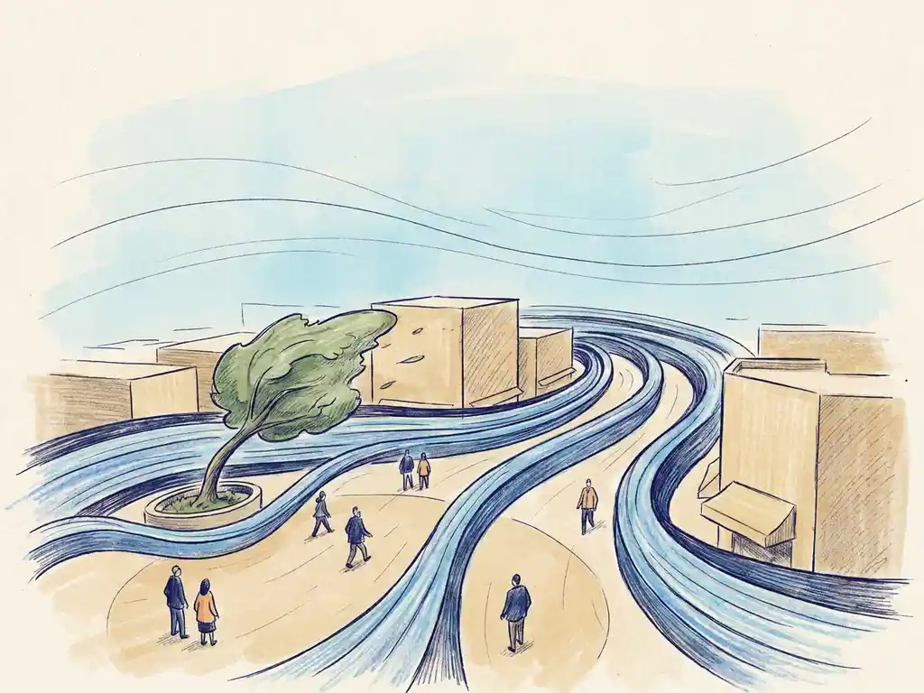
Wind becomes a hazard for pedestrians at speeds above 15 metres per second (m/s) at eye level. At that point, most people struggle to maintain balance, and the risk of falls or accidents increases significantly. Below that threshold, wind can still be uncomfortable without being dangerous. Both the NEN 8100 standard (used in the Netherlands) and the Lawson criteria (used in the UK and internationally) define 15 m/s as the boundary where wind transitions from a comfort issue to a safety concern.
This article walks through the key questions: how wind speed is measured and classified, what the difference is between discomfort and danger, why certain urban spots are windier than others, and what you can do when a location exceeds safe limits.
At what wind speed does wind become a hazard for pedestrians?
Wind becomes a hazard for pedestrians when the wind speed at eye level (1.75 metres) exceeds 15 m/s for more than a very small fraction of the year. Under both NEN 8100 and the Lawson criteria, this is the threshold that separates uncomfortable conditions from genuinely dangerous ones. At 20 m/s and above, the risk applies to everyone, not just vulnerable groups.
To put those numbers in context: 15 m/s is roughly 54 km/h, which corresponds to a strong gale. At that speed, walking in a straight line becomes difficult, unsecured objects start moving, and the risk of accidents rises sharply. The 20 m/s threshold (72 km/h) represents conditions where even physically fit adults are at risk of losing balance.
What makes these thresholds meaningful in urban planning is not just the peak speed, but how often those speeds are reached. Under NEN 8100, a location is classified as dangerous when wind speeds exceed 15 m/s for more than 0.30% of the year (roughly 26 hours annually). Occasional gusts are less of a concern than locations where strong winds are a regular occurrence.
What are the Lawson criteria and how do they classify wind comfort?
The Lawson criteria are a set of wind comfort thresholds widely used in the UK, Canada, and internationally. They classify wind conditions based on the activity taking place at a location, with a different speed limit for each use type. The core rule is that a threshold speed must not be exceeded more than 5% of the time.
Here is how the Lawson criteria break down by activity:
- Sitting: wind speeds above 4 m/s must occur less than 5% of the time
- Standing: the threshold is 6 m/s
- Leisurely walking: the threshold is 8 m/s
- Brisk walking: the threshold is 10 m/s
- Uncomfortable: when 10 m/s is exceeded more than 5% of the time
For wind danger, the Lawson criteria set the bar at 15 m/s exceeded more than 0.025% of the time for a risk to vulnerable people, and 20 m/s at the same exceedance probability for a risk to everyone.
One practical limitation worth knowing: research on Rotterdam showed that the Lawson method produced overly optimistic results for that city. The Erasmusbrug was the only location flagged as uncomfortable, while several other spots were clearly problematic in practice. This happens because Lawson uses higher speed thresholds for most activities than NEN 8100, which tends to be more conservative and better aligned with real-world experience in the Netherlands. For wind engineering projects in the Netherlands, NEN 8100 is the legally prescribed standard.
What’s the difference between wind discomfort and wind danger?
Wind discomfort and wind danger are two separate classifications, and they require different responses. Discomfort means wind speeds are high enough to make an activity unpleasant or impractical. Danger means wind speeds are high enough to cause falls, injuries, or accidents, regardless of how the space is used.
Under NEN 8100, discomfort is measured by how often wind speeds exceed 5 m/s at eye level. The classification runs from Class A (excellent, less than 2.5% exceedance) through to Class E (poor, more than 20% exceedance). A terrace rated Class D is uncomfortable for sitting but not necessarily dangerous.
Danger is assessed separately, using the 15 m/s threshold. A location can be rated Class A for comfort and still have occasional dangerous conditions if the wind rose includes rare but extreme events. Conversely, a Class C or D location may never reach dangerous speeds.
This distinction matters because the design response is different. Discomfort issues can often be addressed with screens, canopies, or planting. Danger issues may require more fundamental changes to building geometry or the placement of pedestrian routes and entrances.
Why do some urban locations feel windier than open fields?
Some urban locations feel windier than open fields because buildings concentrate and redirect airflow in ways that amplify local wind speeds. A tall building in a low-rise area does not just block wind – it deflects it downward, creating strong downdrafts at street level that can significantly exceed the undisturbed wind speed in an open field.
Several well-documented effects drive this:
- Downwash effect: high-rise buildings push wind from upper levels down to the street. The taller the building relative to its surroundings, the stronger the effect. A general rule: a building more than twice the height of its immediate surroundings is likely to cause wind problems at ground level.
- Corner acceleration: wind wraps around building corners and accelerates. This is one of the most common causes of localised wind hazards in city centres.
- Channel effect: streets aligned parallel to the prevailing wind direction act as funnels, increasing wind speed along the corridor. Streets oriented perpendicular or diagonal to the dominant wind direction perform better.
- Pressure short-circuit: gaps and passages through or under buildings create a direct path between the high-pressure windward side and the low-pressure leeward side, generating strong localised jets.
The street-to-building height ratio (H/W) also plays a role. When H/W exceeds 0.65, most wind is guided over the rooftops rather than into the street. Below 0.35, the street receives little protection. Open squares with more than 25% open facade on the windward side are particularly exposed. You can read more about how these factors interact on the Actiflow overview page.
When is a wind safety assessment legally required for a public space?
In the Netherlands, a wind safety assessment is legally required when a permit application involves a development that is likely to affect wind conditions at ground level. This typically applies to high-rise buildings, large-scale area developments, and projects near existing wind-sensitive locations such as bridges, squares, or waterfront areas. The applicable standard is NEN 8100, and municipalities can require a wind study as a condition of the environmental permit (omgevingsvergunning).
In practice, a wind study is expected when:
- A new building is significantly taller than its surroundings
- A project introduces large open plinths, passages, or elevated walkways
- The development is near a waterfront, bridge, or other exposed location
- A municipality or permit authority explicitly requests one as part of the application
Outside the Netherlands, requirements vary. In the UK, planning authorities in areas with tall buildings – particularly London – increasingly expect a wind microclimate assessment based on the Lawson criteria. The specific trigger depends on local planning policy and the scale of the project.
Even when a study is not legally required, commissioning one early in the design process is worth considering. Wind issues discovered after a permit is granted are far more expensive to fix than those identified during the design phase.
What can be done when wind speeds in a public space exceed safe limits?
When a wind assessment shows that speeds in a public space exceed safe limits, the response depends on whether the problem is at the urban planning level, the building level, or the immediate surroundings. The most effective interventions happen early – solutions at the building design stage are far easier to implement than retrofits to a finished structure.
At the building design level, the most effective measures include:
- Setbacks (terrugsprongen): stepping the building back at lower floors reduces the downwash effect. A setback needs to be at least 5 metres deep for a building of around 100 metres to be effective. Note that the roof level of the setback itself is typically exposed to strong downdrafts and unsuitable as usable outdoor space.
- Aerodynamic shaping: rounded or tapered facades guide wind around the building rather than pushing it downward.
- Clustering: grouping towers so they shelter each other (the “Manhattan effect”) reduces exposure. Height differences between adjacent buildings should stay within about 30% to avoid creating new downdraft zones.
At the immediate surroundings level:
- Screens and barriers: these redirect wind locally but create acceleration at their edges and can affect the feel of a space.
- Covered walkways and canopies: effective for pedestrian protection, but canopies shift the downdraft to their outer edge rather than eliminating it.
- Planting: trees and hedges help with comfort but are not reliable as a primary safety measure. Deciduous trees lose their leaves in winter, precisely when wind speeds are highest.
- Function placement: sometimes the simplest fix is moving a terrace, entrance, or play area a few metres to avoid the worst spot. This costs nothing if identified early.
The key principle is that wind problems solved at the urban planning scale – through street orientation, building placement, and massing – are almost always more effective and less costly than trying to correct them with add-on measures after the fact.
How Actiflow helps with wind safety assessments
We carry out wind safety and comfort assessments for buildings and public spaces across the Netherlands, Belgium, the UK, and beyond. Whether you need a NEN 8100 study for a permit application or a Lawson-based assessment for an international project, we cover both standards and know what municipalities and planning authorities expect to see.
- CFD simulations and wind tunnel testing: we use advanced virtual wind tunnel technology to model airflow around your building or development, producing colour-coded maps and graphics you can share directly with clients, planners, or permit authorities.
- Full range of project scales: from a single high-rise to city-wide area studies – including the comprehensive wind study we carried out for the city of Rotterdam.
- Fast turnaround: for regular clients, we set everything aside and start the next day if needed. Internal process automation continues to reduce delivery times further.
- Clear, practical reporting: our reports are written to be defensible under regulatory scrutiny and clear enough to present to non-technical audiences.
- Design advice included: we do not just flag problems – we help you find solutions that work within your design constraints and timeline.
Curious how we can help with your wind safety assessment? Contact us and we would be happy to discuss your project and help you find the right engineering solution. You can also find out more on our about us page.
Related Articles
- Why is pedestrian wind comfort important for high-rise developments?
- How do wind tunnels test pedestrian comfort around buildings?
- What are the most reliable methods for measuring urban wind speed?
- What are 5 ways wind speed affects pedestrian comfort in cities?
- What are 6 factors that increase wind risk in city centers?
