
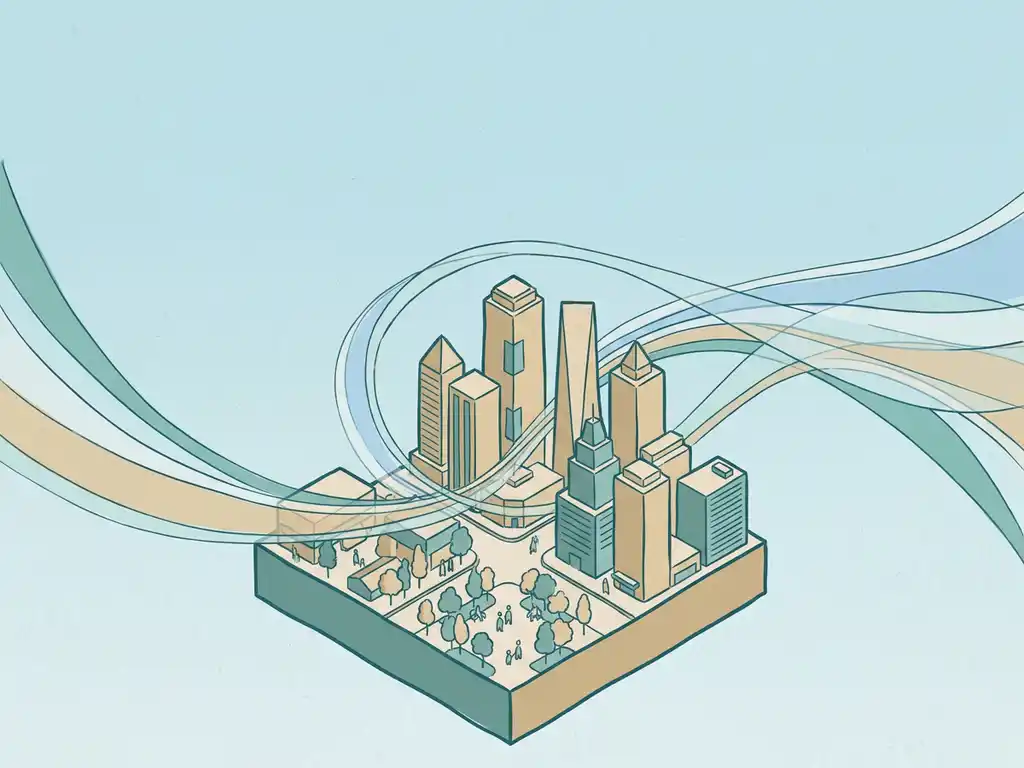
A wind assessment for an urban development typically follows three stages: building a 3D model of the site and surroundings, running CFD simulations to calculate wind conditions, and translating the results into clear maps and design recommendations. The exact scope depends on the size of the project and whether the study is needed for a permit application or an early design check. Below, we answer the most common questions about how urban wind assessments work in practice.
What happens during each stage of a wind assessment?
A wind assessment moves through three distinct stages: 3D model preparation, CFD simulation, and post-processing and reporting. Each stage builds on the previous one, and skipping or rushing any of them affects the reliability of the final results.
In the first stage, engineers construct a detailed 3D model of the site using geodata sources such as building footprint databases and elevation models. Existing and permitted buildings are included, and the model extends at least 250 metres beyond the core study area to ensure wind enters the simulation realistically. Details smaller than about one metre are typically omitted because they have negligible influence on pedestrian-level wind conditions.
The second stage is the CFD simulation itself. The air volume above and between the buildings is divided into millions of computational cells, and the solver calculates wind speed and direction at every point in the grid. For a large urban study, this mesh can contain hundreds of millions of cells, which is why the calculation runs on high-performance computing infrastructure rather than a standard workstation.
The third stage converts raw simulation data into usable output. Engineers produce colour-coded wind maps, identify locations that exceed comfort or safety thresholds, and document the findings in a report. The specific maps generated are ideally agreed upon with the design team and any relevant authorities before the simulation runs, so that a single simulation run can answer multiple questions at once.
What inputs are needed to start an urban wind assessment?
To start a wind assessment, you need site geometry data, local meteorological data, and clarity on the assessment standard that applies to your project. Without these three inputs, the study cannot be set up correctly.
For site geometry, engineers typically work from publicly available geodata combined with any design drawings you can supply. For new developments, the proposed building volumes need to be provided as 3D files or, at minimum, as floor plans with heights. Surrounding buildings within a radius of several hundred metres are reconstructed from existing datasets.
Meteorological input comes from official wind measurement records. For projects in the Netherlands, the NPR 6097 dataset is the legally prescribed source for permit procedures under NEN 8100. For international projects or where more recent data is preferred, datasets such as the Dutch Offshore Wind Atlas (DOWA) can be used. Both sources produce a wind rose showing the dominant wind directions and frequencies for the location.
Finally, you need to know which assessment standard applies. In the Netherlands, that is NEN 8100. For projects in the UK and many other countries, the Lawson criteria are used instead. The standard determines which wind speed thresholds define comfort and danger classes, and shapes how the results are presented in the final report.
How does CFD simulation differ from wind tunnel testing in urban studies?
CFD simulation and wind tunnel testing are both valid methods for wind assessment, but they serve different project scales. Wind tunnel testing works well for individual buildings or smaller masterplans where a physical scale model can be built. CFD is the appropriate method for large urban areas, where building a physical model at the required scale is not practical.
For city-wide or district-level studies, CFD is the only realistic option. A physical wind tunnel model of a neighbourhood covering several square kilometres would need to be enormous, and changing the design to test an alternative layout would mean rebuilding the model from scratch. In a CFD environment, design variants can be tested by modifying the digital model and rerunning the simulation, which saves significant time and cost.
CFD also produces output that covers the entire study area simultaneously. Wind tunnel measurements are typically taken at specific probe locations, whereas a CFD simulation generates wind speed data at every point in the computational grid. This makes it straightforward to produce detailed pedestrian-level wind maps that cover an entire neighbourhood rather than a selection of measurement points.
That said, both methods have their place. For a single high-rise building where very high accuracy at specific locations matters, a physical wind tunnel test can still be the right choice. For anything at neighbourhood scale or above, CFD simulations are the standard approach.
When is a wind assessment legally required for a building permit?
In the Netherlands, a wind assessment is legally required when a building project is likely to have a significant effect on pedestrian wind conditions. In practice, this means high-rise buildings, towers in exposed locations, and large area developments almost always require a wind study as part of the permit application. Municipalities can and do make this a formal condition.
The applicable standard in the Netherlands is NEN 8100, which defines wind comfort classes from A (comfortable) to E (unacceptable) and a separate danger threshold. A permit application typically needs to demonstrate that the development does not create unacceptable wind conditions in publicly accessible areas. What counts as acceptable depends on the intended use of the space: a busy shopping street has a stricter comfort requirement than a service road.
A useful rule of thumb is that a building more than twice the height of its surroundings is very likely to cause wind acceleration at street level and will almost certainly trigger a requirement for a formal study. Corner flows, downwash from tall facades, and gap effects between buildings are the most common sources of wind problems in urban settings.
For projects outside the Netherlands, the trigger depends on local planning policy. In the UK, many local planning authorities require a wind microclimate assessment for tall or large buildings, typically assessed against the Lawson criteria. If you are unsure whether your project needs a study, the safest approach is to ask early, because discovering a wind problem after planning permission has been granted is far more disruptive than commissioning a study at the design stage. You can find an overview of what wind engineering services cover on the wind engineering page.
What do wind assessment results mean for the building design?
Wind assessment results tell you which locations around your development will experience wind conditions that are uncomfortable or unsafe for pedestrians, and what is causing those conditions. This gives the design team specific, actionable information about where changes are needed and what kind of changes will actually work.
The results are presented as colour-coded maps showing wind comfort and danger classifications across the entire study area. Locations that fall into poor comfort classes or exceed the danger threshold need to be addressed before the design can be approved. The wind study also identifies the aerodynamic mechanism behind each problem, which is important because the right solution depends on the cause.
Common design responses include:
- Setbacks: stepping a tower back from street level reduces downwash, but only when the setback is deep enough. A useful rule of thumb is a minimum depth of five metres for a building of around 100 metres tall.
- Building orientation: avoiding the widest facade perpendicular to the dominant wind direction significantly reduces wind acceleration around the building.
- Clustering tall buildings: grouping towers so they shelter each other, keeping height differences between adjacent buildings below about 30%, reduces the risk of gap acceleration and corner flows.
- Canopies and covered walkways: these protect pedestrians directly but do not solve the underlying aerodynamic problem, so they work best as a secondary measure after the building volume has been optimised.
- Planting and screens: effective for comfort improvement in lower-wind situations, but not reliable as a primary safety measure and less effective in winter when deciduous trees lose their leaves.
The most important practical implication is timing. Wind problems that are identified at the concept design stage can usually be resolved by adjusting the building volume or orientation, which costs little or nothing. The same problems discovered after planning permission has been granted are much harder and more expensive to fix, because the building layout is already fixed. Commissioning a wind assessment early, even as a quick screening study, is consistently the most cost-effective approach. More background on how building physics and wind interact in urban design is available on our building physics page.
How we help with urban wind assessments
We carry out wind assessments for urban developments of all scales, from a single high-rise to city-wide studies. Our team has over 21 years of experience with wind engineering in the Netherlands and Belgium, and we are familiar with the specific requirements of municipalities and permit authorities in both countries. For international projects, we apply the Lawson criteria and have experience in the UK, Gibraltar, the Middle East, and Southern Europe.
Here is what working with us looks like in practice:
- We advise you on which assessment method and standard applies to your project, so you do not waste time on the wrong type of study
- We build and run CFD simulations using advanced virtual wind tunnel technology, producing colour-coded maps and graphics that you can submit directly to municipalities or share with clients
- We identify the aerodynamic causes of any wind problems and propose concrete design solutions, ranked by effectiveness
- We are known for fast turnaround, and for regular clients we can start the next day if the project timeline demands it
- We have experience across the full range of project scales, including the comprehensive city-wide wind study commissioned by the city of Rotterdam
- One contact person stays close to your project from intake to final report
Curious how we can help with your wind assessment? Contact us and we will be happy to discuss your project and help you find the right approach. You can also find out more on our about us page.
