
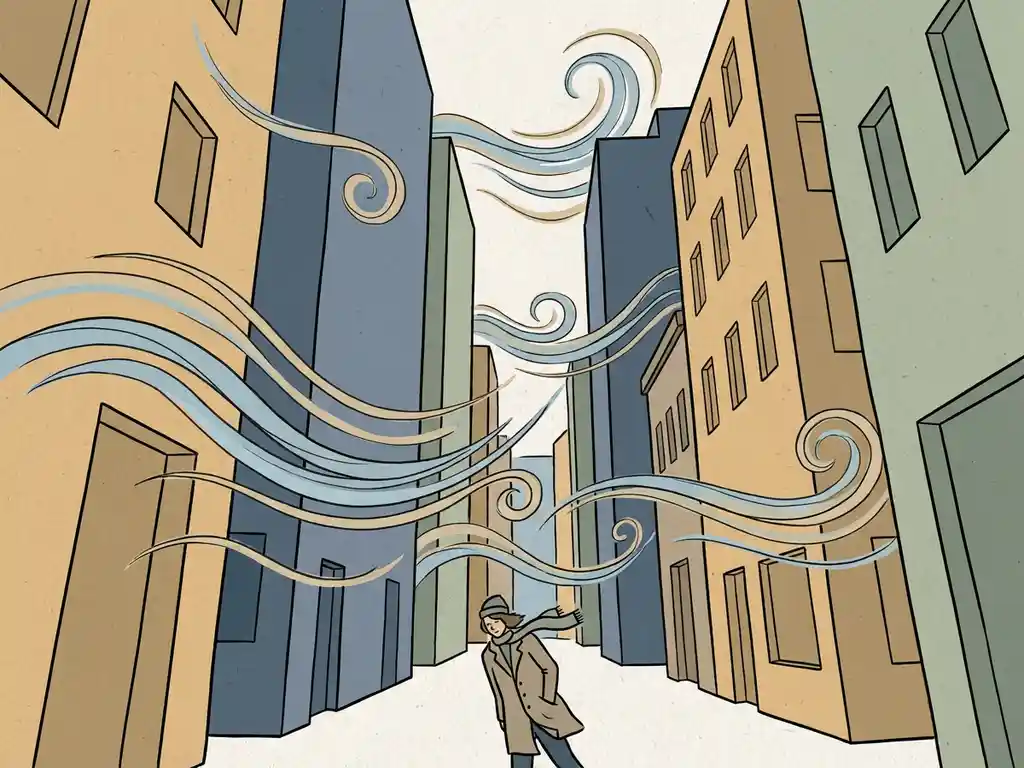
Street canyons affect pedestrian wind comfort by channelling and accelerating airflow between buildings, often creating wind speeds at street level that are significantly higher than in open surroundings. When buildings on both sides of a street are tall relative to the street width, wind gets funnelled through the gap, reducing comfort and sometimes creating genuine safety hazards. The sections below break down exactly how this happens, which criteria apply, and what you can do about it.
How do buildings channel wind into street canyons?
Buildings channel wind into street canyons through two main mechanisms: downwash and funnelling. When wind hits a tall facade, it gets deflected downward toward street level. Once there, it has nowhere to go but along the street, and if the street is aligned with the prevailing wind direction, it accelerates through the gap like air through a nozzle.
The height-to-width ratio of the street, often written as H/W, determines how much of this effect you get. A ratio below 0.35 means most wind reaches the street with little obstruction. Between 0.35 and 0.65, you get partial wind exposure. Above 0.65, most of the wind passes over the rooftops rather than through the street, which actually reduces ground-level exposure in many cases.
Orientation matters just as much as geometry. A street running parallel to the dominant wind direction acts as a channel. A street running perpendicular or at a diagonal breaks up the flow and reduces the channelling effect considerably. This is why street layout decisions made at the urban planning stage have such a large impact on pedestrian wind comfort later on.
Buildings that are more than twice as tall as their immediate surroundings are particularly prone to generating strong downwash. The height difference creates a large pressure differential between the windward face and the street, which drives air downward with considerable force. You can see this effect clearly in dense city centres where a single tall tower sits among much lower buildings.
Why are wind speeds higher in some street canyons than others?
Wind speeds vary between street canyons because of differences in building height, street geometry, prevailing wind direction, and the surrounding urban context. A street canyon with tall buildings, a narrow width, and an orientation aligned with the dominant wind will almost always produce higher pedestrian-level wind speeds than a lower, wider, or differently oriented street nearby.
Several factors compound the effect:
- Building height differences: Adjacent buildings with height differences greater than 30% create strong downwash zones on the leeward side of the taller building.
- Open facades on the windward side of squares: If more than 25% of the windward boundary of a square or plaza is open, wind enters largely unimpeded and accelerates across the open space.
- Gaps and passages: Openings through or beneath buildings aligned with the dominant wind direction create pressure shortcuts that produce very high local wind speeds.
- Lack of surrounding buildings: Isolated towers in otherwise low-rise areas have no neighbouring buildings to share or deflect the wind load.
Research from Rotterdam illustrates this well. Around a residential tower in the Charlois district, local wind speeds above 3 m/s were measured even on days that were nearly calm elsewhere in the city. At the New Luxor Theatre, conditions are consistently windier than in the surrounding area regardless of the general weather. These are not random outcomes – they follow directly from building geometry and placement.
What wind comfort criteria apply to pedestrians in street canyons?
In the Netherlands, NEN 8100 is the applicable standard for assessing pedestrian wind comfort. It measures the probability that wind speed at eye height (1.75 m) exceeds 5 m/s, and classifies locations into five classes from A (comfortable) to E (poor) based on how many hours per year that threshold is exceeded.
The classification works as follows:
- Class A: Exceedance probability below 2.5% – suitable for sitting, strolling, and walking through
- Class B: 2.5 to 5% – suitable for sitting and strolling, moderate for walking through
- Class C: 5 to 10% – suitable for sitting, poor for walking through
- Class D: 10 to 20% – moderate for sitting, poor for all other activities
- Class E: Above 20% – poor for all activities
NEN 8100 also defines a separate wind danger threshold: a 15 m/s exceedance probability above 0.30% is considered unacceptable in all circumstances. Between 0.05% and 0.30%, it may be acceptable depending on the location and function.
For projects outside the Netherlands – in the UK, for instance – the Lawson criteria apply a similar approach but with different thresholds and activity classifications. Both standards share the underlying principle of matching acceptable wind conditions to the intended use of a space. With over 21 years of experience, we are familiar with both frameworks and advise on which applies to your specific project and location.
How does CFD simulation capture street canyon wind behaviour?
CFD (Computational Fluid Dynamics) simulation models street canyon wind behaviour by solving the equations of airflow across a detailed three-dimensional model of the buildings and surrounding urban environment. The simulation calculates wind speed, direction, and turbulence at every point in the model, including at pedestrian height throughout the street canyon.
The process starts with building a 3D model from geodata – including existing and permitted buildings in the area. The airspace above and between buildings is then divided into millions of small computational cells. In a large-scale urban study, this mesh can contain hundreds of millions of cells, with the finest resolution (as small as 0.25 m) close to building surfaces and street level where accuracy matters most.
Wind is simulated from multiple directions to reflect the full range of conditions a location experiences over a year. The meteorological input typically comes from long-term wind measurement data, such as KNMI datasets in the Netherlands, which capture the statistical distribution of wind speeds and directions. The results are then post-processed into wind engineering maps that show comfort classifications across the entire study area.
One of the practical advantages of CFD over physical wind tunnel testing is scale. A wind tunnel works well for individual buildings or small developments, but a city-wide or district-level assessment is only feasible through simulation. The fluid dynamics consultancy approach allows you to test design variants quickly, compare scenarios, and produce colour-coded output maps that you can share directly with clients, planners, or permit authorities without needing to translate technical data first.
What design changes reduce wind discomfort in street canyons?
Reducing wind discomfort in street canyons works best when addressed at the urban design level first, then at the building level, and finally through local mitigation measures. Solving wind problems after a building is constructed is significantly harder and more expensive than designing them out from the start.
At the urban planning level:
- Orient streets perpendicular or diagonally to the prevailing wind direction rather than parallel to it
- Cluster tall buildings so they shelter each other, limiting height differences between adjacent buildings to no more than 30%
- Avoid locating the widest building facade perpendicular to the dominant wind
At the building design level:
- Setbacks redirect downwash away from street level – a minimum depth of 5 metres is recommended for a building of around 100 metres tall
- Rounded or tapered facades guide wind around the structure rather than deflecting it straight down
- Covered walkways and arcades protect pedestrians directly, though the area immediately adjacent to the arcade remains exposed
- Avoid passages and openings aligned with the dominant wind direction; if they are unavoidable, keep them as narrow as possible
At street level, planting trees and hedges can improve comfort noticeably, though deciduous trees lose their leaves in winter when wind speeds are typically highest. Raising or lowering sections of pavement, and repositioning functions like terraces, playgrounds, and building entrances away from the windiest spots, can also make a meaningful difference without any structural changes.
When is a pedestrian wind comfort study legally required for a street canyon project?
In the Netherlands, a pedestrian wind comfort study is legally required when a building project is subject to a permit application and the municipality determines that wind conditions may affect public safety or comfort. This typically applies to buildings taller than approximately 30 metres, large-scale area developments, and projects in locations where wind-sensitive functions such as squares, entrances, or outdoor seating areas are planned.
NEN 8100 is the standard referenced in Dutch permit procedures. Municipalities vary in how strictly they apply it, but a growing number of cities – including Rotterdam, Amsterdam, and Utrecht – require a wind study as part of the environmental impact or urban quality assessment. Submitting a permit application without one when wind risks are present can lead to delays or rejection.
Outside the Netherlands, requirements differ by country and local authority. In the UK, wind assessments based on the Lawson criteria are commonly requested for high-rise developments and major regeneration projects, though the legal basis varies between planning authorities. In Belgium, requirements are generally less formalised but increasingly expected for larger developments.
Beyond legal requirements, there is a strong practical case for commissioning a study earlier than required. Wind problems identified during the design phase can be resolved through relatively minor adjustments to building form or layout. The same problems found after construction require far more expensive interventions – or may simply have to be accepted.
How Actiflow helps with pedestrian wind comfort in street canyons
We specialise in pedestrian wind comfort assessments for building and area development projects of all scales – from a single high-rise in a dense urban block to city-wide studies like the one we carried out for the municipality of Rotterdam. Whether your project falls under NEN 8100 or the Lawson criteria, we advise you on which study is needed, what inputs are required, and what the results mean for your design.
Here is what working with us looks like in practice:
- We build a detailed 3D model of your project and its surroundings using current geodata
- We run CFD simulations from multiple wind directions using long-term meteorological data
- We deliver colour-coded comfort maps and clear graphics you can share directly with clients, planners, or permit authorities
- We flag wind risk areas early and propose concrete design adjustments – setbacks, facade orientations, arcade depths – before they become costly to fix
- We are familiar with the specific requirements of municipalities across the Netherlands and Belgium, and apply Lawson criteria for projects in the UK, Gibraltar, and beyond
- For regular clients, we can start the next day if needed – speed and flexibility are part of how we work
Curious how we can help with pedestrian wind comfort in your project? Contact us – we are happy to discuss your project and help you find the right approach. You can also find out more about us and our background in fluid dynamics engineering.
