
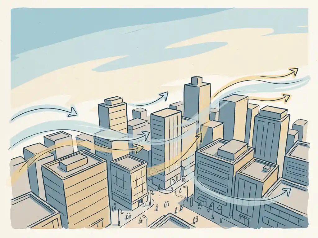
Urban planners rely on wind engineering studies because wind conditions directly affect whether a public space is safe and comfortable to use. A well-designed street or plaza can become unpleasant or even dangerous if the surrounding buildings channel or accelerate wind in ways that weren’t anticipated during the design phase. Wind studies give planners the data they need to make informed decisions before construction starts, rather than discovering problems after the fact. Below, we answer the most common questions planners and project managers ask about wind engineering.
What do wind engineering studies actually measure in cities?
Wind engineering studies measure wind speed and wind direction at pedestrian height, typically 1.75 metres above street level, across all relevant outdoor locations in and around a development. The core output is a probability distribution: how often does wind at a given location exceed a certain speed threshold, expressed as a percentage of hours per year?
Two thresholds matter most in practice. The first is 5 m/s, which is the reference speed used to assess pedestrian wind comfort. The second is 15 m/s, which defines the boundary for wind danger. Locations that exceed the danger threshold under realistic conditions are flagged regardless of their intended use.
Beyond comfort and safety, urban-scale wind studies can map a wider set of conditions. Ventilation potential, for example, indicates how well a street or neighbourhood flushes out heat and air pollution. This is directly relevant to urban heat island effects and air quality planning. Studies can also quantify wind energy potential on rooftops, and model how pollutants disperse from traffic or industrial sources under different wind conditions.
In a wind engineering study for the city of Rotterdam, the analysis covered a core area with a diameter of roughly 5 kilometres. The results showed that the river ventilated the city well under south-westerly winds, but that certain low-rise industrial areas near the waterfront created unexpectedly strong downwash conditions at street level, an issue that had received little attention from designers and policymakers until that point.
How does building geometry affect wind conditions at street level?
Building geometry is the single biggest driver of wind conditions at street level. Tall buildings deflect high-altitude wind downward toward pedestrians. The taller the building relative to its surroundings, the stronger this effect tends to be.
A few practical rules of thumb explain most of what you see in wind studies:
- A building more than twice the height of its immediate surroundings significantly increases the risk of wind problems at ground level.
- The width of a building facade facing the prevailing wind direction matters. A wide, flat facade acts like a wall, pushing wind sideways and downward. A narrower or tapered facade allows air to flow around the structure instead.
- Street geometry amplifies or reduces these effects. When the street-width-to-building-height ratio (H/W) exceeds 0.65, most wind passes over the rooftops rather than down into the street. Below 0.35, the street is largely exposed.
- Gaps between buildings, passages, and open corners concentrate airflow and create local acceleration. A gap that seems minor on a plan drawing can produce wind speeds at street level that are significantly higher than in the surrounding area.
Clustering tall buildings so they shelter one another, limiting height differences between adjacent towers to around 30%, and orienting streets diagonally rather than parallel to the prevailing wind direction are all design strategies that reduce wind problems before they start. The key point is that wind behaviour at street level is a direct consequence of design decisions made at the urban planning stage. Fixing problems at the building level is much harder once the broader layout is fixed.
When is a wind study legally required for a building permit?
In the Netherlands, a wind study is legally required when a building project could materially affect wind conditions in the surrounding public space. The applicable standard is NEN 8100, which sets out the methodology and the comfort and safety thresholds that must be met. Municipalities increasingly require a wind comfort assessment as part of the permit application, particularly for high-rise buildings, large-scale area developments, and projects near existing wind-sensitive locations such as bridges, waterfronts, or open squares.
The trigger is not always a fixed building height. Some municipalities apply their own policies that require a study from a certain floor count or a certain proximity to public space. Others require it whenever a new building significantly changes the built environment in a way that could worsen conditions for existing residents or users. Checking the specific requirements of the relevant municipality early in the design process avoids delays later.
For projects outside the Netherlands, the Lawson criteria are the most widely used international standard, particularly in the United Kingdom and elsewhere internationally. The Lawson framework classifies wind conditions by activity type and sets thresholds for comfort and danger in a similar way to NEN 8100, though the classification categories and exceedance probabilities differ in detail.
What’s the difference between a pedestrian wind comfort study and a wind loading assessment?
A pedestrian wind comfort study and a wind loading assessment measure different things and serve different purposes, even though both fall under the broader category of wind engineering.
A pedestrian wind comfort study focuses on the experience of people outdoors. It maps wind conditions at street level and classifies locations according to how suitable they are for different activities, such as sitting, walking, or passing through, based on how often wind exceeds defined thresholds. The output informs urban design decisions: where to place seating, how to orient entrances, and whether design changes are needed to make a space usable.
A wind loading assessment focuses on the structural forces that wind exerts on a building. It determines the pressures acting on facades, cladding systems, and load-bearing structures so that engineers can design them to withstand realistic wind loads. This is a structural engineering input, not a comfort or planning input. The relevant standards, calculation methods, and outputs are entirely different from those used in a comfort study.
Both studies can use CFD simulations or physical wind tunnel testing as their underlying methodology. But they answer different questions, involve different teams, and feed into different parts of the design and permitting process. On a complex project, you may need both.
How can CFD simulations improve urban design decisions?
CFD (Computational Fluid Dynamics) simulations improve urban design decisions by making wind behaviour visible before anything is built. A CFD model simulates airflow across a three-dimensional representation of the proposed development and its surroundings, producing colour-coded maps that show wind conditions at every point in the study area.
The practical value is that design alternatives can be tested quickly. If a simulation shows that a proposed tower creates unacceptable conditions at a nearby plaza, the design team can test the effect of a setback, a different facade orientation, or a canopy before any physical changes are made. This is far cheaper than discovering the problem after construction.
For large-scale urban studies, CFD is the only viable method. Physical wind tunnel testing requires a scale model of the area, which becomes impractical for city-wide assessments. The Rotterdam pilot study mentioned earlier used a computational mesh of more than 583 million cells, running 24 separate simulations across 12 wind directions and two seasonal configurations. That level of detail would be impossible to replicate in a physical model.
We use OpenFOAM for our CFD simulations, a well-established open-source platform, combined with atmospheric boundary layer profiles based on standardised meteorological data. The results are post-processed into maps and visualisations that are directly usable in design reviews, planning meetings, and permit submissions. You can explore the full range of our CFD simulation capabilities to understand what inputs are needed and what the output looks like in practice.
What happens when a wind study reveals unacceptable conditions?
When a wind study reveals unacceptable conditions, the next step is to identify which design changes would bring those conditions within acceptable limits. A good wind study does not just flag problems; it points toward solutions by showing where the wind acceleration originates and what is driving it.
Mitigation measures follow a clear hierarchy, from most effective to least:
- Urban layout and massing: Adjusting building heights, clustering towers, changing street orientation. These are the most effective interventions and the easiest to implement if wind is considered early in the design process.
- Building volume and orientation: Setbacks, tapering facades, repositioning openings and passages. Effective if the broader layout is already fixed, but less flexible than massing changes.
- Architectural elements: Canopies, covered walkways, rounded building corners. These reduce local wind exposure but do not address the underlying cause of acceleration.
- Landscape and public space design: Planting, wind screens, changes to paving levels, repositioning seating and entrances. Useful as a final layer, but not a substitute for addressing wind at the building or urban design level.
The earlier wind is considered in the design process, the more options are available and the lower the cost of addressing problems. A wind issue identified during the concept design phase can often be resolved by adjusting a building’s massing. The same issue identified after planning permission has been granted may require expensive facade modifications or landscape interventions that deliver a fraction of the improvement.
How Actiflow helps with wind engineering studies
We have been carrying out wind engineering studies since 2005, working with municipalities, real estate developers, architects, and structural engineers across the Netherlands, Belgium, the UK, and beyond. Our work ranges from individual high-rise assessments to city-wide studies like the one we completed for Rotterdam. We know the regulatory landscape, including NEN 8100 for Dutch projects and the Lawson criteria for international work, and we know what municipalities expect to see in a permit submission.
Here is what you can expect when you work with us:
- Pedestrian wind comfort assessments using CFD simulations or wind tunnel testing, classified according to NEN 8100 or Lawson criteria
- Wind loading studies for facades, cladding systems, and structural elements
- Large-scale area assessments for masterplans, area developments, and city-wide studies
- Clear, visual output including colour-coded maps and graphics that you can present directly to clients, planners, and permit authorities
- Fast turnaround with a high degree of process automation and, for regular clients, the ability to start the next day if needed
- Practical design advice when results show wind hazards, not just a report that identifies the problem
You can find an overview of everything we do on our Actiflow homepage. Curious how we can help with wind engineering studies? Feel free to contact us. We would be happy to discuss your project and help you find the right engineering solution. You can also find out more about our team and background on our about us page.
Related Articles
- What are the pedestrian wind comfort standards used in 2026?
- How does building shape affect wind speed at street level?
- What are 3 wind engineering best practices for developers?
- What are wind engineering requirements for high-rise buildings?
- Which 3 building orientations create the worst wind speed issues?
