
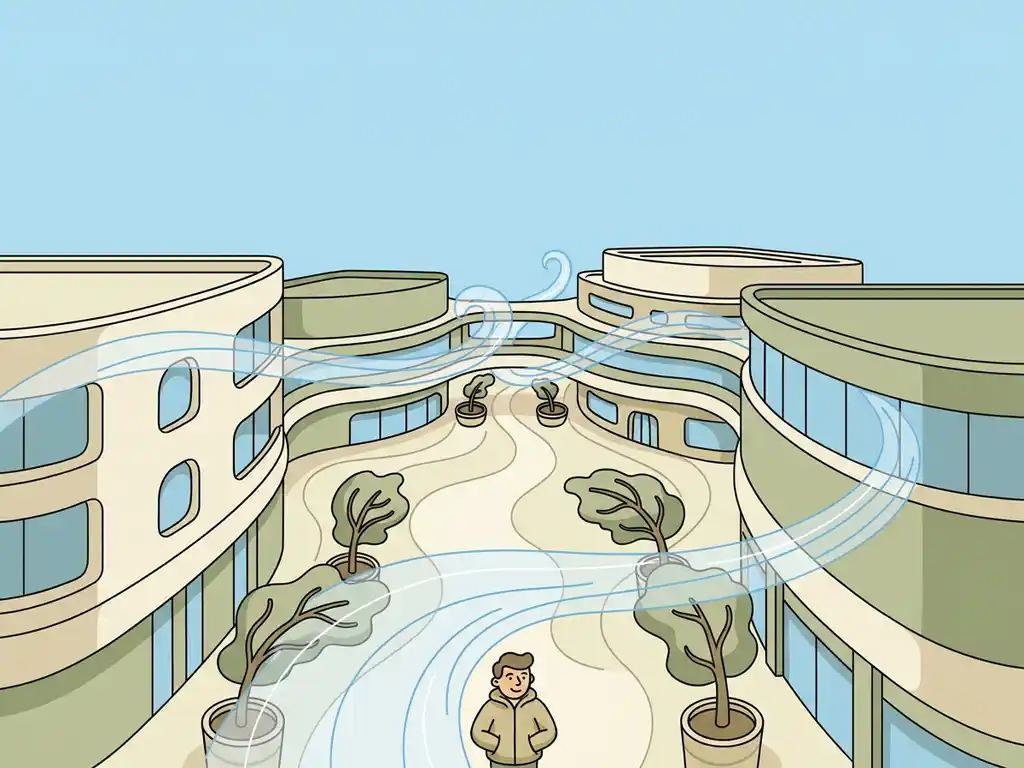
A wind assessment improves pedestrian comfort by identifying where wind speeds around a building exceed acceptable thresholds for the intended use of a space, and by guiding design changes that bring those conditions within safe and comfortable limits. The assessment maps wind behaviour at street level across all wind directions and seasons, so you can see exactly where problems occur and why. The sections below walk through the key questions about how this process works, what it measures, and what you can do with the results.
What factors determine pedestrian wind comfort around buildings?
Pedestrian wind comfort depends on how a building’s shape, height, and position interact with the surrounding urban environment to accelerate or redirect airflow at street level. The most common causes of discomfort are downwash from tall facades, corner acceleration, and channelling effects in streets and passages. These effects are predictable, and understanding them early in a project gives you real room to act on them.
Several building and site characteristics raise the risk of wind problems:
- Building height relative to its surroundings: A building more than twice the height of neighbouring structures is significantly more likely to generate problematic downwash and corner gusts.
- Facade orientation: Placing the widest facade perpendicular to the prevailing wind direction increases the surface area catching wind and pushes more air down to street level.
- Openings and passages: Gaps through or under a building aligned with the dominant wind direction create pressure shortcuts that produce strong, localised gusts.
- Street geometry: A high building-to-street-width ratio (H/W above 0.65) tends to push most wind over the roofline, while very open ratios (H/W below 0.35) leave streets largely exposed.
- Square and plaza design: When more than 25% of the windward side of a square is open facade, the risk of wind nuisance increases sharply.
Urban layout matters too. The “Manhattan effect” describes how clustering towers so they shield each other can reduce overall wind nuisance, provided height differences between adjacent buildings stay within roughly 30%. Street orientation is another lever: streets running parallel to the prevailing wind act as channels and amplify speeds, while streets oriented perpendicular or diagonally tend to break up the flow.
How does a CFD simulation model wind behaviour at street level?
A CFD (Computational Fluid Dynamics) simulation models wind behaviour at street level by solving the mathematical equations governing airflow across a detailed three-dimensional model of the building and its surroundings. The simulation runs across multiple wind directions and speed profiles, producing velocity data at pedestrian height that can be translated into comfort and safety classifications.
The process runs in three steps. First, a 3D model is built from geodata sources such as building footprint databases and terrain height maps. Existing and permitted buildings are included; details smaller than one metre are omitted because they have negligible influence on the results. Vegetation is included only where it forms significant clusters.
Second, the air volume above and between the buildings is divided into millions of computational cells. Cell sizes are smallest near the ground and building surfaces, where accurate resolution of the velocity gradient matters most, and increase toward the model boundary. A study covering a large urban area can involve hundreds of millions of cells, which is why CFD is the practical choice for city-scale work where a physical wind tunnel model would be impractical to build and test.
Third, raw simulation results are processed into maps and visualisations. Colour-coded maps show wind speed ratios at pedestrian height across the entire study area, making it straightforward to identify hotspots and present findings to planners, architects, or permit authorities. We use CFD simulations as a virtual wind tunnel, producing output that is directly usable in design reviews and permit submissions without requiring translation.
For smaller individual buildings, a physical wind tunnel test remains a valid and sometimes preferred alternative. For large-scale area studies, CFD is the method of choice.
What do the Lawson criteria and NEN 8100 actually measure?
Both the Lawson criteria and NEN 8100 measure the probability that wind speeds at pedestrian level will exceed a defined threshold, and they use that probability to classify locations according to their suitability for different activities. The core difference is geographic scope: NEN 8100 is the Dutch standard used in permit procedures in the Netherlands, while the Lawson criteria are used internationally, including in the UK and other markets.
Under NEN 8100, locations are classified from A (most comfortable) to E (dangerous). The classification is based on how often wind speeds exceed 5 m/s (the threshold for nuisance) and 15 m/s (the threshold for danger). A location rated class A is suitable for extended stays such as sitting at a terrace; class E is unacceptable for any regular pedestrian use. Danger classifications apply when the probability of exceeding 15 m/s is above 0.30%, which is considered unacceptable regardless of context.
The Lawson criteria use a similar approach but apply different activity categories and threshold definitions. Both systems ultimately answer the same practical question: is this location comfortable and safe for the people who will use it, given what they will be doing there?
The choice of standard is not just technical. In the Netherlands, NEN 8100 is legally prescribed for permit procedures, so using a different method puts your report at risk of rejection. For projects outside the Netherlands, Lawson is typically required. We apply both standards depending on the project location, and we know what individual municipalities expect from a report before it reaches their desk.
Which design changes most effectively reduce wind discomfort?
The most effective design changes for reducing wind discomfort work at the building volume level, before looking at add-on measures. Setbacks, aerodynamic shaping, and strategic building placement address the root cause of wind acceleration; screens and planting can supplement but rarely substitute for these upstream decisions.
A practical hierarchy of measures, from most to least effective:
- Urban layout: Cluster tall buildings so they shield each other. Keep height differences between adjacent buildings within 30%. Orient streets to avoid channelling the prevailing wind.
- Building volume and orientation: Align the narrow facade toward the prevailing wind. Avoid passages or openings that face the dominant wind direction. Where setbacks are used, make them at least 5 metres deep for a building of around 100 metres tall. Note that the roof level of a setback sits directly in the downwash flow and is not suitable as an occupied terrace.
- Aerodynamic facade design: Rounded or tapered facades guide wind around the structure rather than forcing it downward. Canopies can help, but they tend to relocate the downwash to the canopy edge rather than eliminate it.
- Covered walkways and galleries: These protect pedestrians directly beneath them, but the space immediately beside the gallery remains exposed. A minimum depth of 5 metres is needed to provide meaningful protection for a 100-metre building.
- Screens and planting: Useful for fine-tuning comfort in specific spots, but screens create acceleration at their edges and planting loses its effectiveness in winter when deciduous trees shed their leaves, precisely when wind speeds are highest.
The most important principle is timing. Addressing wind at the urban planning or massing stage is far more effective than trying to retrofit solutions once a building design is fixed. A wind engineering assessment early in the design process gives you the data to make those upstream decisions before they become expensive to change.
When is a pedestrian wind comfort study legally required?
A pedestrian wind comfort study is legally required in the Netherlands when a building or development is likely to affect wind conditions at street level, particularly for tall buildings, large-scale area developments, and projects in densely built urban environments. The specific trigger depends on the municipality, but NEN 8100 is the prescribed standard for permit procedures across the country.
In practice, the requirement typically applies when:
- A building exceeds a height threshold set by the local municipality (often around 30 metres, but this varies)
- A development significantly changes the urban form of an area, for example a masterplan or large mixed-use scheme
- The permit authority or environmental impact assessment process explicitly requests a wind study as a condition of approval
Outside the Netherlands, the legal requirement depends on the jurisdiction. In the UK, wind assessments are commonly required as part of the planning process for tall buildings, using the Lawson criteria. In other markets, requirements vary and are often set at the project level by the planning authority rather than by national legislation.
Even where a study is not formally required, commissioning one voluntarily is often worth it. Wind problems discovered after a permit is granted, or after construction begins, are significantly more expensive to resolve than those identified during the design phase. An early assessment also gives you defensible evidence if wind comfort becomes a point of dispute during the planning process. You can find a broader overview of wind engineering services and how they fit into the building development process on our website.
How Actiflow helps with wind assessments
We carry out pedestrian wind comfort studies for architects, developers, structural engineers, and municipalities, applying both NEN 8100 for projects in the Netherlands and the Lawson criteria for international work. With over 21 years of experience and a team of 15 engineers and consultants, we know what permit authorities expect and how to produce reports that hold up under scrutiny.
Here is what working with us looks like in practice:
- Early-stage advice: We help you identify whether a wind study is needed and which standard applies, before you commit to a methodology.
- CFD simulations and wind tunnel testing: We run virtual wind tunnel simulations for large-scale studies and physical wind tunnel tests for individual buildings, depending on what the project requires.
- Clear, visual output: Results come as colour-coded maps and graphics that you can share directly with clients, planners, or permit authorities without needing to translate the technical content.
- Design guidance: When results show wind hazards, we advise on which design changes will actually solve the problem, from building massing adjustments to facade detailing.
- Fast turnaround: For regular clients, we set everything aside to start the next day if needed. Internal process automation continues to reduce delivery times further.
- Full project range: From a single high-rise to a city-wide masterplan, including large-scale studies such as the comprehensive wind assessment we carried out for the city of Rotterdam.
Curious how we can help with your wind assessment? Feel free to contact us. We would be happy to discuss your project and help you find the right approach. You can also learn more about our team and background on our about us page.
