
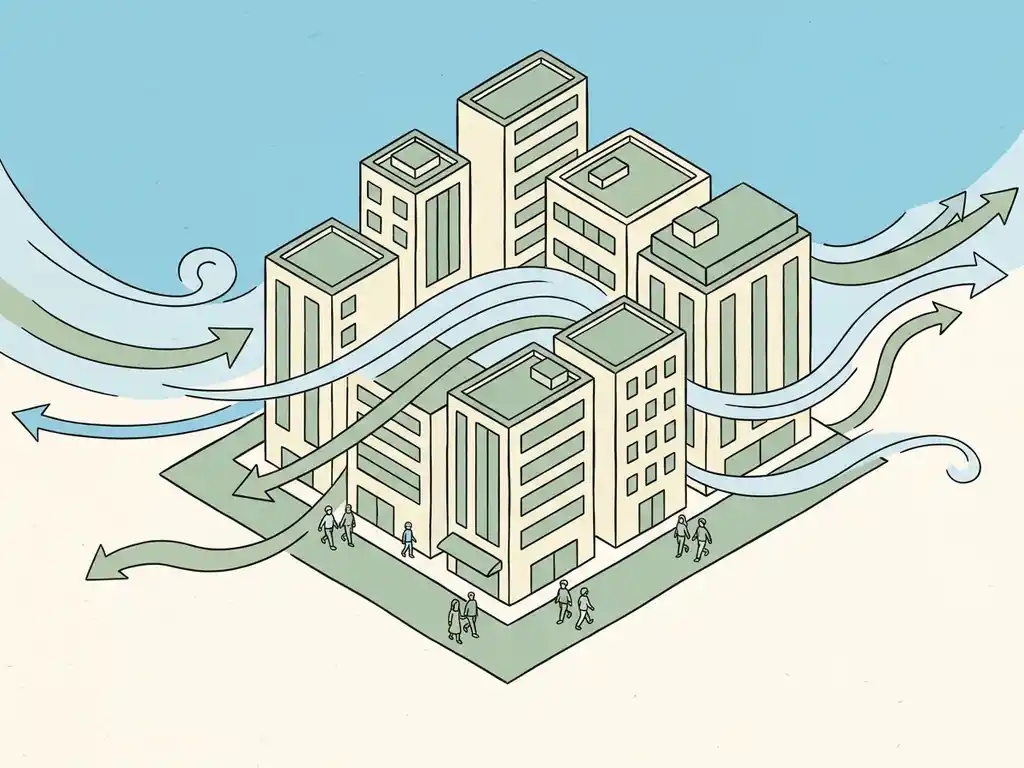
Wind engineers assess pedestrian wind comfort by measuring how often wind speeds at eye level exceed specific thresholds, then comparing those results against accepted comfort criteria such as NEN 8100 (used in the Netherlands) or the Lawson criteria (used internationally). The two main methods are physical wind tunnel testing and CFD (Computational Fluid Dynamics) simulation. Below, we answer the most common questions about how this process works in practice.
What methods do wind engineers use to measure pedestrian comfort?
Wind engineers use two reliable methods to assess pedestrian wind comfort: wind tunnel testing and CFD simulation. Wind tunnel testing involves building a physical scale model and exposing it to controlled airflow. CFD simulation recreates the same scenario digitally, solving airflow equations across millions of computational cells. Both methods produce results that can be evaluated against comfort criteria.
The choice between the two depends on the scale and nature of the project. Wind tunnel testing works well for individual buildings and smaller masterplans where a physical model is feasible. CFD simulations are better suited to large urban areas, where building a physical model at the required scale is simply not practical. For a city-wide wind study, CFD is the only realistic option.
In a CFD assessment, the process runs in three stages. First, engineers build a 3D model of the area using geodata, including existing and permitted buildings. Second, the air volume above and between buildings is divided into a computational mesh of individual cells, with finer resolution near ground level where pedestrian conditions matter most. Third, the simulation results are processed into colour-coded maps that show wind conditions across the entire study area.
Field measurements are sometimes used alongside these methods to validate simulation results or to capture real-world conditions at a specific location, particularly when a project involves unusual terrain or building configurations.
What wind comfort criteria are used to evaluate results?
The two most widely used wind comfort criteria are NEN 8100 (the Dutch standard) and the Lawson criteria (used internationally, including in the UK). Both systems classify wind conditions at pedestrian level based on how often wind speeds exceed a defined threshold, and both link those classifications to specific outdoor activities.
Under NEN 8100, the key threshold is 5 m/s at eye height (1.75 m). The standard defines five comfort classes:
- Class A (exceedance below 2.5%): suitable for sitting, strolling, and walking through
- Class B (2.5 to 5%): suitable for sitting and strolling, moderate for walking through
- Class C (5 to 10%): suitable for sitting, moderate for strolling, poor for walking through
- Class D (10 to 20%): moderate for sitting, poor for strolling and walking through
- Class E (above 20%): poor for all activities
NEN 8100 also includes a separate wind danger threshold at 15 m/s. An exceedance probability above 0.30% at this speed is considered unacceptable. Between 0.05% and 0.30%, the danger level may be acceptable depending on location and context.
The Lawson criteria follow a similar logic but use slightly different thresholds and activity categories. They are the standard reference for projects in the UK, Gibraltar, and other international markets.
How does wind rose data influence a pedestrian wind assessment?
Wind rose data tells engineers where the wind comes from and how often, which directly shapes which areas around a building will experience the worst conditions. Without accurate local wind statistics, a comfort assessment has no real-world foundation.
In the Netherlands, wind data typically comes from KNMI meteorological records. Two datasets are commonly used: the NPR 6097 dataset (covering 1963 to 2002, legally required for permit procedures under NEN 8100) and the DOWA (Dutch Offshore Wind Atlas, covering 2008 to 2017), which is more recent and can be split by season, month, or time of day.
Both datasets consistently show that the dominant wind direction in the Netherlands is from the southwest. This means that building facades, open plazas, and street corridors oriented toward the southwest are most exposed to wind-driven discomfort. Engineers use this data to run simulations across multiple wind directions, typically 12, and then weight the results by the frequency of each direction from the wind rose.
Seasonal variation also matters. Wind comfort in summer differs meaningfully from winter conditions, because deciduous trees carry leaves in summer (reducing wind exposure) and wind speeds are generally lower. For studies focused on public space quality, producing separate summer and winter maps gives a more complete picture.
What areas around a building are assessed for wind comfort?
A pedestrian wind comfort assessment focuses on all publicly accessible areas at ground level where people might walk, sit, or spend time. This includes entrances, pavements, plazas, terraces, cycle paths, and green spaces in and around the development.
Specific locations that consistently attract attention in wind assessments include:
- Building corners and edges, where airflow accelerates as it wraps around the structure
- Passageways and gaps between buildings, which can create channel effects that significantly increase wind speed
- Entrance areas, which are high-traffic zones where poor wind conditions directly affect users
- Open plazas and squares, especially where more than 25% of the windward facade is open, which strongly increases the risk of wind nuisance
- Setback terraces or podium levels, which often sit directly in the downwash zone of a tall building above
The study area typically extends well beyond the building footprint. A standard assessment includes a buffer zone of at least 250 metres around the core area to ensure that surrounding buildings and topography are correctly represented in the model. For large-scale wind engineering projects, such as city-wide studies, the domain can extend across several kilometres.
What happens when wind comfort results show a hazard?
When results show that a location exceeds the wind danger threshold, or that comfort classes are too poor for the intended use of a space, the next step is design mitigation. The goal is to bring conditions within acceptable limits before construction begins, because solving wind problems at the building level is far harder once the urban layout is fixed.
Mitigation measures follow a clear hierarchy, from most to least effective:
- Urban layout adjustments: clustering towers so they shelter each other, keeping height differences between adjacent buildings below 30%, and avoiding street orientations that run parallel to the prevailing wind direction
- Building volume and orientation: aligning the narrowest facade toward the dominant wind direction, avoiding open passages that face the wind, and using setbacks (minimum 5 metres deep for a building of around 100 metres tall)
- Aerodynamic design: rounded or tapered facades that guide wind around the structure rather than forcing it downward
- Covered walkways and canopies: effective for protecting pedestrians directly beneath, though the area beside the canopy remains exposed
- Screens and planting: useful for localised comfort improvement, but not a primary safety measure; deciduous trees lose their leaves in winter, precisely when wind speeds are highest
When wind issues appear late in the design process, the options narrow considerably. Early-stage wind assessment, even a quick indicative study, gives design teams the information they need to make layout decisions before those decisions become expensive to reverse.
When is a pedestrian wind comfort study legally required?
In the Netherlands, a pedestrian wind comfort study is legally required when a building project falls under the scope of NEN 8100, which applies to new buildings and significant changes to existing structures where wind conditions at ground level may be affected. Many municipalities require a wind study as part of the environmental permit (omgevingsvergunning) application, particularly for high-rise developments, large area developments, or projects in exposed urban locations.
The practical trigger points are:
- A building that is more than twice the height of its immediate surroundings
- A development involving multiple towers or a significant change to the urban morphology
- A location where the municipality has already flagged wind as a concern in its spatial policy
- A client or planning authority that specifically requests a wind assessment as a condition of approval
Outside the Netherlands, requirements vary by country and local authority. In the UK, for example, planning authorities in London and other major cities increasingly request wind assessments for tall buildings, typically evaluated against the Lawson criteria. In Gibraltar and other international markets, requirements depend on local planning policy and the nature of the development.
Even where a study is not strictly required by law, commissioning one early in the design process is a practical way to avoid costly surprises. Wind issues discovered after planning approval, or worse, after construction, are significantly more expensive to address than those caught during the design phase. The Actiflow overview of wind engineering services gives a clear picture of what a study typically involves and when each type of assessment applies.
How Actiflow helps with pedestrian wind comfort assessments
We carry out pedestrian wind comfort assessments for architects, developers, structural engineers, and municipalities across the Netherlands, Belgium, the UK, and internationally. With over 21 years of experience and roots in the Faculty of Aerospace Engineering at Delft University of Technology, we combine technical depth with practical knowledge of the regulatory requirements that matter to your project.
Here is what working with us looks like in practice:
- We advise you on which assessment method and norm applies to your project, whether that is NEN 8100 for a Dutch permit application or the Lawson criteria for an international development
- We use advanced CFD simulation to model wind conditions across your entire site, producing colour-coded maps and graphics that you can share directly with clients, planners, and permit authorities
- We have experience across the full range of project scales, from single high-rise assessments to city-wide studies such as the comprehensive wind study we carried out for the city of Rotterdam
- We are known for speed and flexibility: for regular clients, we set everything aside to start the next day if needed, and our internal automation continues to reduce delivery times
- We provide a single point of contact from intake to final report, so nothing gets lost between technical analysis and client communication
Curious how we can help with your pedestrian wind comfort assessment? Contact us and we will be happy to discuss your project and help you find the right engineering solution. You can also find out more on our about us page.
