
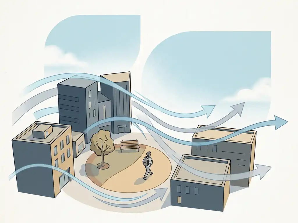
Yes, a wind assessment can meaningfully reduce wind discomfort in city centres. By mapping where uncomfortable or even dangerous wind conditions occur around buildings, a wind assessment gives designers and planners the evidence they need to make targeted changes before construction begins. The earlier you carry out the assessment, the more options you have to fix problems without major cost. Below, we answer the most common questions about how this works in practice.
What causes wind discomfort in city centres?
Wind discomfort in city centres is caused by the way buildings redirect, accelerate, and channel airflow at street level. Tall buildings deflect high-altitude wind downward, creating strong downdrafts along facades. Narrow gaps between buildings act as funnels, accelerating airflow in ways that feel unpleasant or even unsafe for pedestrians.
Several building and urban design factors make this worse:
- Buildings more than twice as tall as their surroundings are particularly prone to generating strong downdrafts at ground level
- Passages and gaps oriented toward the prevailing wind direction create pressure shortcuts that accelerate airflow significantly
- Open plazas with more than 25% open facade on the windward side increase the chance of wind nuisance considerably
- Bridges and waterfront locations are exposed to unobstructed airflow, as Rotterdam’s pilot study confirmed: the Erasmus Bridge and sections of the Willemsbrug consistently score as wind hazard zones
- Streets running parallel to the prevailing wind direction promote channelling effects, while diagonal or perpendicular street orientations reduce them
The relationship between building height and street width also plays a role. When the height-to-width ratio (H/W) drops below 0.35, most wind reaches the street with little obstruction. A ratio above 0.65 tends to push wind over the buildings rather than down into the street. Getting this balance right at the urban planning stage is far easier than correcting it later at the building level.
How does a wind assessment identify problem areas in a design?
A wind assessment identifies problem areas by simulating airflow around a detailed 3D model of the proposed design and its surroundings, then mapping wind speeds at pedestrian height across all relevant wind directions. The output shows exactly where wind conditions exceed comfort or safety thresholds, and why.
The two main methods used are wind tunnel testing and CFD (Computational Fluid Dynamics) simulation. Wind tunnel testing works well for individual buildings and smaller masterplans. For larger urban areas, CFD simulations are the appropriate approach: a full 3D model is built from geodata, a computational mesh is generated around and between the buildings, and airflow is calculated for multiple wind directions using meteorological data.
The results are presented as colour-coded maps showing wind comfort classes across the entire site. These visualisations make it immediately clear which areas perform well and which require attention. They are practical enough to share directly with architects, planners, or permit authorities, without needing to explain the underlying fluid dynamics.
For large-scale studies, the mesh can contain hundreds of millions of computational cells, requiring significant computing power. The Rotterdam city-wide pilot study, for example, used a mesh of more than 583 million cells across a 5-kilometre diameter study area. That level of detail is what makes the results reliable enough to inform real planning decisions.
Which wind comfort criteria apply in city centre projects?
In the Netherlands, the applicable standard for pedestrian wind comfort is NEN 8100. For international projects, the Lawson criteria are the most widely used alternative. Both systems classify wind conditions based on how often wind speeds exceed defined thresholds at pedestrian height.
Under NEN 8100, wind comfort is assessed by measuring the exceedance probability of 5 m/s at eye level (1.75 m). This produces five classes:
- Class A (exceedance below 2.5%): suitable for sitting, strolling, and walking through
- Class B (2.5 to 5%): good for sitting and strolling, moderate for walking through
- Class C (5 to 10%): good for sitting, moderate for strolling, poor for walking through
- Class D (10 to 20%): moderate for sitting, poor for strolling and walking through
- Class E (above 20%): poor for all activities
Wind hazard is a separate assessment under NEN 8100, based on the exceedance probability of 15 m/s. A probability between 0.05% and 0.30% is classified as limited risk and may be acceptable depending on location. Above 0.30%, the location is classified as dangerous and unacceptable for public use.
Knowing which standard applies to your project matters early. If you are working on a Dutch permit application, NEN 8100 is legally required. For projects in the UK, Gibraltar, or elsewhere, the Lawson criteria apply. Our wind engineering services cover both standards, so we can advise you on the right approach from the start.
What design changes can reduce wind discomfort at street level?
Design changes that reduce wind discomfort at street level range from urban planning decisions made early in a project to targeted interventions added to a building or its immediate surroundings. The most effective measures address the problem at the highest possible level in the design hierarchy.
From most to least effective:
- Urban planning level: Orient streets diagonally or perpendicular to the prevailing wind direction. Cluster towers so they shield each other, keeping height differences between adjacent buildings below 30%. Avoid placing entrances, terraces, or playgrounds in locations identified as high-wind zones.
- Building volume and orientation: Align the narrowest facade perpendicular to the prevailing wind. Use setbacks (minimum 5 metres deep for a building around 100 metres tall) to break up downdrafts. Avoid passages or openings oriented toward the dominant wind direction.
- Facade and building detail: Rounded or tapered facades allow wind to flow around the building rather than downward. Covered walkways and galleries protect pedestrians directly, provided they are at least 5 metres deep. Canopies are less effective because they redirect downdrafts to the canopy edge rather than eliminating them.
- Public space adaptations: Screens and barriers can redirect wind locally but tend to accelerate it at their edges. Trees and hedges improve comfort but lose their effectiveness in winter when wind speeds are highest and deciduous trees have no leaves. Sunken seating areas or raised edges can also reduce exposure at specific spots.
One principle runs through all of this: wind problems are much harder to solve at the building level if wind has not been considered at the urban planning level first. A wind assessment carried out during masterplan development gives you the most design freedom at the lowest cost.
When in the design process should a wind assessment be carried out?
A wind assessment is most valuable when carried out during the early design phase, before the building volume and layout are fixed. At that stage, findings can directly inform decisions about building orientation, massing, setbacks, and street layout without triggering costly redesigns.
In practice, many wind assessments are commissioned later, at the permit application stage, when the design is already largely set. That is often too late to make meaningful changes without significant rework. If the assessment reveals a wind hazard at that point, the options available are limited and typically more expensive to implement.
A useful way to think about timing:
- Concept or masterplan phase: Best time for a first assessment. Results can shape building heights, orientations, and street layout before anything is committed to.
- Schematic design phase: Still early enough to adjust setbacks, facade treatment, and building footprint based on findings.
- Permit application phase: Often required at this stage, but primarily serves as validation. If problems emerge here, design changes are more disruptive.
- Post-construction: An assessment can still identify targeted mitigation measures for existing problem spots, but the range of solutions is narrower.
Getting wind into the conversation early is not just about avoiding problems. It also means you can use wind assessment results to actively improve the quality of public spaces and strengthen your permit application from the start. The Actiflow overview gives a clear picture of how wind studies fit into the broader design and consultancy process.
Can wind assessment results be used in permit applications?
Yes, wind assessment results can be used directly in permit applications, and in many Dutch municipalities they are required. A wind assessment carried out according to NEN 8100 produces a report that meets the evidentiary standards expected by permit authorities, provided the methodology, meteorological input data, and classification are clearly documented.
For Dutch projects, the meteorological input must be based on NPR 6097 data (covering the period 1963 to 2002), which is the dataset legally prescribed for NEN 8100-based permit procedures. Some consultants also include results based on the more recent DOWA dataset for comparison, but the NPR 6097 results are what authorities rely on when reviewing the application.
The visual output of a wind assessment, particularly colour-coded comfort class maps, is well suited for permit submissions. These maps are immediately readable by planners and permit reviewers who are not wind engineering specialists. They show compliance or non-compliance at a glance, and they can be included in planning documents or presented at public consultations without further translation.
If a wind assessment reveals hazardous conditions, the permit process typically requires you to demonstrate that mitigation measures will bring the site within acceptable limits. A follow-up assessment after design changes can confirm this, and that confirmation can be submitted as a supplement to the original application.
How Actiflow helps reduce wind discomfort in city centres
We have been carrying out wind assessments for architects, developers, municipalities, and structural engineers since 2005. Over more than 21 years, we have built up deep familiarity with the regulatory requirements of Dutch municipalities and the NEN 8100 standard, as well as the Lawson criteria used for projects in the UK, Gibraltar, Belgium, and beyond.
Here is what working with us looks like in practice:
- We advise on the right type of assessment for your project from the first conversation, so you do not commission more than you need or discover gaps at the permit stage
- We use advanced CFD simulations to model airflow around your building or area development, producing colour-coded comfort class maps that you can submit directly to permit authorities or present to clients
- We have experience across all project scales, from individual high-rise assessments to large-scale urban studies such as the city-wide wind study we carried out for the Municipality of Rotterdam
- We work fast, and for regular clients we can start the next day if the project requires it. Our internal automation keeps delivery times short without compromising on quality or defensibility
- We stay close to the project from intake to final report, with a single point of contact throughout
Curious how we can help with wind discomfort in your city centre project? Contact us and we will be happy to discuss your project and help you find the right approach. You can also find out more about us and how we work.
Related Articles
- How does CFD improve the accuracy of a wind assessment?
- How do you conduct a wind engineering analysis?
- Which 3 urban design features reduce uncomfortable wind conditions?
- What is the difference between wind speed and wind pressure on buildings?
- What are 5 ways wind speed affects pedestrian comfort in cities?
