
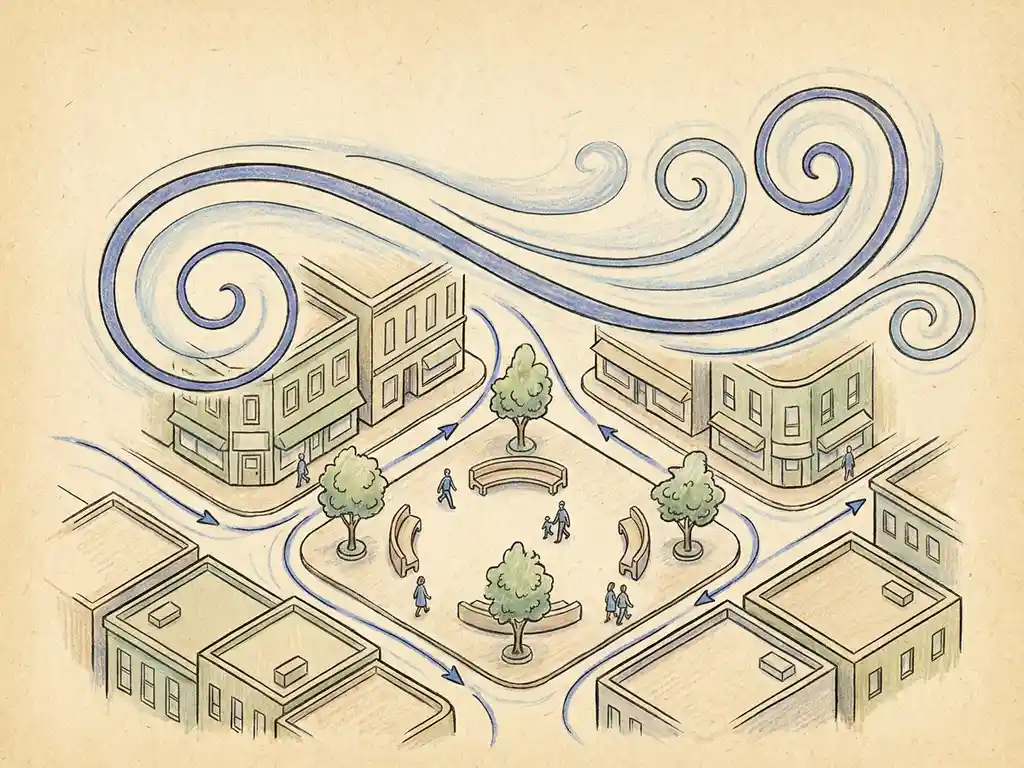
A wind assessment for public spaces is conducted using either CFD (Computational Fluid Dynamics) simulations or physical wind tunnel tests — or a combination of both. The method you choose depends on the scale and complexity of the project. Results are evaluated against recognised comfort criteria, such as NEN 8100 in the Netherlands or the Lawson criteria for international projects, to determine whether wind conditions are acceptable for the intended use of a space. Below, we walk through each step of the process: from the methods and criteria to the inputs you need and when a study is legally required.
What methods are used to assess wind in public spaces?
Wind assessments for public spaces rely on two main methods: CFD simulations and wind tunnel testing. CFD uses computer models to simulate airflow around buildings and through open spaces. Wind tunnel testing places a physical scale model in a controlled airstream. Both produce reliable results, but they suit different project types and scales.
For individual buildings or smaller masterplans, a wind tunnel test is a well-established option. You build a physical model, place it in the tunnel, and measure wind speeds at pedestrian level under controlled conditions. It is a proven approach, particularly when you want to validate results physically.
For large-scale urban areas, wind tunnel testing becomes impractical. You cannot fit an entire city district into a tunnel at a meaningful scale. That is where CFD comes into its own. A detailed 3D model of the area is built using geodata, and the simulation runs computationally across dozens of wind directions. The Rotterdam city-wide wind study is a good example: the computational mesh contained over 583 million cells, roughly 20 to 30 times more than a typical single-building study. That kind of scale simply is not possible in a physical tunnel.
In practice, CFD has become the standard method for most wind engineering projects, from individual high-rise assessments to area-wide studies. The output — colour-coded maps showing wind speed distributions at pedestrian level — is easy to interpret and can be shared directly with clients, planners, and permit authorities.
What wind comfort criteria apply to public spaces?
The two most widely used frameworks for assessing wind comfort in public spaces are NEN 8100 (used in the Netherlands) and the Lawson criteria (used internationally, including the UK). Both evaluate wind conditions at pedestrian height and classify locations based on how suitable they are for different activities.
Under NEN 8100, wind comfort is measured by the probability that wind speed exceeds 5 m/s at eye level (1.75 m). Locations are classified from A to E:
- Class A (exceedance below 2.5%): comfortable for sitting, strolling, and walking through
- Class B (2.5–5%): good for sitting and strolling, moderate for walking through
- Class C (5–10%): suitable for strolling, not for sitting or walking through
- Class D (10–20%): moderate for strolling only
- Class E (above 20%): poor for any pedestrian activity
NEN 8100 also covers wind danger, defined by the probability of wind speeds exceeding 15 m/s. An exceedance probability above 0.30% is considered unacceptable and requires design intervention. Locations between 0.05% and 0.30% may be acceptable depending on context.
The Lawson criteria follow a similar logic but use slightly different thresholds and activity categories. They are the standard for projects in the UK, Gibraltar, and other international markets. If your project is outside the Netherlands, the Lawson framework is typically what the local authority or planning inspector will expect.
What data and inputs are needed to start a wind assessment?
To run a wind assessment for a public space, you need three categories of input: a 3D model of the area, meteorological wind data, and a clear brief on the intended use of the space. Without these, the simulation cannot produce results that are meaningful for your specific project.
The 3D model is built from geodata sources such as BRT TOP10NL, 3DBAG, and AHN in the Netherlands. It includes existing buildings and any approved future structures. Details smaller than one metre are generally left out because they have negligible influence on the results. Vegetation is included only where it forms larger clusters. A surrounding buffer zone of at least 250 metres around the core area is modelled as simplified volumes to ensure wind enters the simulation correctly.
For meteorological input, the standard source in the Netherlands is the NPR 6097 dataset (1963–2002), which is legally prescribed for permit procedures under NEN 8100. The more recent DOWA dataset (2008–2017) is also used and offers higher resolution and seasonal breakdown. Both datasets produce comparable wind roses, with the dominant wind direction coming clearly from the southwest.
The brief matters too. A terrace, a playground, a main entrance, and a cycling route all have different comfort requirements. Knowing how the space will be used tells us which NEN 8100 or Lawson class is the target, and where to focus the analysis. You can find more detail on how these inputs feed into the broader process on the Actiflow overview page.
How do wind assessment results affect design decisions?
Wind assessment results directly shape decisions about building layout, facade design, and the placement of public functions. When results show that a location falls into a poor wind class, the design team needs to act — and the earlier in the process that happens, the less costly the fix.
There is a clear hierarchy of mitigation measures, moving from urban planning level down to local interventions:
- Urban planning level: Street orientation, building clustering, and height ratios between adjacent buildings. A building more than twice the height of its surroundings is more likely to cause wind problems. Clustering towers so they shelter each other (the “Manhattan effect”) is an effective strategy when height differences between adjacent buildings stay within 30%.
- Building volume and orientation: Avoid placing the widest facade perpendicular to the prevailing wind. Setbacks are effective when at least 5 metres deep for a building of around 100 metres tall — though the setback level itself tends to sit in the downwash zone and is not suitable as a usable terrace or public space.
- Building-level measures: Rounded or tapered facades guide wind along the structure rather than downward. Covered walkways can protect pedestrians directly, provided they are deep enough.
- Public space adjustments: Trees and hedges improve comfort but are not a primary safety measure, particularly in winter when deciduous trees lose their leaves. Recessed seating areas, raised edges, and relocating entrances or terraces away from the windiest spots are often the most practical fixes.
One principle stands out: wind problems are much harder to solve at building level if they were not considered at urban planning level first. A small change in street orientation or building placement during early design can prevent a wind hazard that would otherwise require expensive facade modifications later.
When is a wind assessment legally required for public spaces?
In the Netherlands, a wind assessment is legally required when a building project is subject to a permit application and the local municipality or the applicable building regulations demand one. This is most common for high-rise buildings, large area developments, and projects in exposed locations such as waterfronts or open urban squares.
NEN 8100 is the Dutch standard that governs these assessments, and results must be based on the NPR 6097 meteorological dataset to be accepted in permit procedures. Some municipalities have their own additional requirements or thresholds — particularly in cities like Rotterdam and Amsterdam, where wind conditions in dense urban environments are a known planning concern.
Outside the Netherlands, the requirement depends on local planning policy. In the UK, for example, wind assessments are frequently required as part of Environmental Impact Assessments for tall buildings, and the Lawson criteria are the accepted framework. In Gibraltar and other international markets, requirements vary by jurisdiction, but the principle is consistent: the larger and taller the development, the more likely a formal wind study will be expected.
Even when a wind assessment is not strictly required, carrying one out early in the design process is worth it. Discovering a wind problem after planning permission has been granted — or worse, after construction — is far more disruptive than addressing it during the design phase.
How Actiflow helps with wind assessments for public spaces
We have been conducting wind assessments for public spaces, high-rise developments, and area-wide urban studies since 2005. With over 21 years of experience and roots in Delft University of Technology, our team knows both the technical side and the regulatory landscape — including the specific requirements of Dutch municipalities and international planning authorities.
Here is what working with us looks like in practice:
- We advise you on which method and standard applies to your project — NEN 8100, Lawson, or both
- We build the 3D model and run CFD simulations using advanced virtual wind tunnel technology, producing colour-coded maps that you can present directly to clients or submit to permit authorities
- We cover the full range: from a single high-rise to city-wide studies like the one we delivered for the municipality of Rotterdam
- We apply the Lawson criteria for international projects in the UK, Gibraltar, the Middle East, and Southern Europe
- We flag wind issues early and advise on practical design solutions — from building orientation to setbacks and public space layout
- We are known for our speed and flexibility: for regular clients, we can start the next day if needed
Curious how we can help with your wind assessment? Contact us and we will be happy to discuss your project and help you find the right approach. You can also find out more about our team and background on our about us page.
