
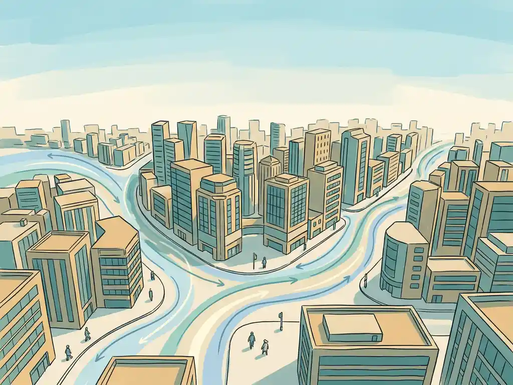
Wind engineering is used in urban development to predict, evaluate, and improve how wind behaves around buildings, streets, and public spaces. It helps architects, developers, and municipalities make informed decisions about building height, orientation, and layout before construction begins. The goal is to ensure that the spaces people use every day are comfortable, safe, and well-ventilated. Below, we answer the most common questions about how wind engineering fits into real-world urban projects.
How does wind engineering shape the design of urban spaces?
Wind engineering shapes urban design by giving planners and architects reliable data about how their design choices affect airflow at street level. Without this input, decisions about building height, placement, and orientation are made blind — and wind problems discovered late in a project are expensive to fix.
The relationship between buildings and wind is more complex than it looks. A tower that stands significantly taller than its surroundings — a common rule of thumb is more than twice the height of adjacent buildings — tends to push strong airflow down to pedestrian level. Clusters of towers, by contrast, can shield each other when designed with that goal in mind. This is sometimes called the Manhattan effect: group towers so they protect one another, and keep height differences between neighbouring buildings to no more than 30%.
Street geometry matters just as much as building height. A street oriented parallel to the prevailing wind direction acts like a channel, accelerating airflow along its length. Orienting streets perpendicular or at a diagonal to the dominant wind breaks this effect. Open facades on the windward side of a square increase the risk of wind nuisance considerably — a guideline from practice suggests that more than 25% open facade on the windward side increases that risk significantly.
Design measures like building setbacks, tapered facades, and covered walkways can all reduce wind impact at street level. A setback needs to be at least 5 metres deep for a building of roughly 100 metres tall to be effective. Canopies are less effective — they tend to redirect downward airflow to their edges rather than eliminating it. Planting trees and hedges can help with comfort, but they are not a substitute for getting the building design right in the first place. Wind problems are far harder to solve at the landscape level than at the wind engineering stage of design.
What types of wind studies are used in urban development projects?
Urban development projects typically use three types of wind studies: pedestrian wind comfort assessments, wind loading studies, and large-scale area wind assessments. Each serves a different purpose and applies at a different stage of a project.
- Pedestrian wind comfort assessment: Evaluates wind conditions at street level, around building entrances, on terraces, and in public squares. The outcome tells you whether a location is comfortable for sitting, strolling, or walking through — and whether any spots are genuinely hazardous.
- Wind loading study: Determines the wind forces acting on facades and load-bearing structures. This is relevant for structural engineers and facade contractors, and is often required to comply with structural codes such as Eurocode EN1991-1-4.
- Large-scale area assessment: A city-wide or district-wide study that maps wind conditions across an entire neighbourhood or development zone. This type of study is useful for masterplan decisions and helps municipalities identify problem areas before individual buildings are designed.
Some projects also require additional analysis, such as pollutant dispersion studies or urban heat assessments, which combine wind data with air quality or temperature information to evaluate how well a neighbourhood ventilates. A minimum wind speed of around 2 m/s is generally needed for effective ventilation of heat or air pollution from a street — areas with very low wind nuisance sometimes also have insufficient ventilation potential, so balance is always needed.
When is a wind study legally required for a building permit?
In the Netherlands, a wind study is legally required as part of the permit process when a building project is likely to have a significant effect on local wind conditions — particularly for tall buildings, dense urban developments, or projects in exposed locations. The applicable standard is NEN 8100, which classifies wind conditions by the probability that wind speeds exceed 5 m/s at eye level.
Whether a study is formally required depends on the municipality. Some local authorities include explicit wind assessment requirements in their zoning conditions or environmental impact frameworks. Others apply the requirement case by case, based on building height or proximity to sensitive public spaces. If you are unsure whether your project triggers a requirement, the safest approach is to check with the municipality early — a delayed wind study can hold up a permit application significantly.
For projects outside the Netherlands — in the UK, for example — the Lawson criteria are the standard reference. These serve a similar purpose to NEN 8100 but use different classification thresholds and activity categories. Some UK planning authorities, including the City of London, have their own specific wind assessment guidelines that go beyond the Lawson criteria.
Even when a wind study is not strictly required by law, developers and architects often commission one voluntarily. A study carried out early in the design phase is far more useful than one done at permit stage — it gives you room to adjust the design before costs are locked in.
What is the difference between CFD simulation and wind tunnel testing?
CFD (Computational Fluid Dynamics) simulation and wind tunnel testing are both methods for assessing wind behaviour around buildings, but they work differently and suit different situations. CFD uses numerical models to simulate airflow virtually; wind tunnel testing uses a physical scale model placed in a controlled airstream.
CFD simulation
CFD builds a digital model of the building and its surroundings, then calculates how air moves through and around it. The output includes detailed colour-coded maps showing wind speeds and patterns across the entire area. CFD is well-suited to pedestrian wind comfort assessments and large-scale studies, where you need to evaluate many locations simultaneously. It also makes design iterations faster — adjusting a building’s geometry in a digital model takes far less time than rebuilding a physical scale model. Our CFD simulations use OpenFOAM with an SST k-omega turbulence model and are validated against wind tunnel results and field measurements.
Wind tunnel testing
Wind tunnel testing places a physical scale model in a controlled airstream and measures pressures and forces directly. It is particularly relevant for facade wind loading and structural assessments, where precise pressure data is needed for engineering calculations. Wind tunnel results are often required for formal permit procedures involving complex or unconventional building shapes. Physical testing also provides a useful validation check for CFD models on high-stakes projects.
In practice, many projects use both methods at different stages — CFD for early design exploration and comfort mapping, wind tunnel testing for detailed structural loading or permit submission.
What happens when wind assessment results reveal a hazard?
When a wind assessment identifies a hazardous location — meaning wind speeds at pedestrian level exceed acceptable thresholds with a frequency that poses real risk — the project team needs to address it before the design is finalised. Under NEN 8100, a location is classified as dangerous when wind speeds above 15 m/s are exceeded more than 0.30% of the time. That is not a comfortable margin, and it is not something you can simply accept and move on.
The response depends on where in the design process the hazard is identified. Early discovery gives you the most options: you can adjust building height, change orientation, add setbacks, or reconfigure the layout of the surrounding public space. Hazards found late in the design process are more constrained — you may be limited to mitigation measures like screens, canopies, or landscaping, which are less effective and harder to integrate well.
Screens and barriers can redirect wind locally but tend to create acceleration at their edges. Planting can help in summer but loses its effectiveness in winter when deciduous trees shed their leaves — which is also when wind speeds are highest. Functional adjustments — moving a terrace, relocating a building entrance, or repositioning a children’s play area away from a corner stream — are sometimes the simplest and most effective solution.
The important principle is that wind hazards are much easier to resolve at the urban planning scale than at the individual building scale. Once a building is designed and positioned, your options narrow considerably.
What inputs does a wind engineer need to start an assessment?
To start a wind assessment, a wind engineer needs a 3D model or detailed drawings of the building, information about the surrounding built environment, and the site location. The more complete this information is at the start, the faster the assessment can be delivered.
Specifically, the inputs typically include:
- Building geometry: A 3D model or architectural drawings showing the proposed building’s shape, height, and facade details
- Surrounding context: Information about nearby buildings, including their heights and footprints, within a radius of roughly 500 to 1,000 metres
- Site location: Coordinates or address, so the engineer can retrieve the correct meteorological data and wind rose for that location
- Intended use of surrounding spaces: Which areas are planned as terraces, entrances, play areas, or pedestrian routes — this determines which locations need to be assessed and against which activity category
- Applicable standard: Whether NEN 8100, Lawson, or a local planning authority’s criteria apply
In early design phases, exact building geometry is not always available. A simplified volume model is often sufficient to run a quick scan and identify potential wind issues before the design is locked in. Starting with an approximate model is far better than waiting until all details are finalised — by then, the window for meaningful design changes may have closed.
How Actiflow helps with wind engineering in urban development
We work with real estate developers, architects, structural engineers, and municipalities across the Netherlands, Belgium, the UK, and beyond. With over 21 years of experience in fluid dynamics — rooted in our origins as a spin-off of Delft University of Technology — we know the regulatory landscape, the technical requirements, and what it takes to get a report that holds up under scrutiny.
Here is what working with us looks like in practice:
- We advise you on which type of wind study applies to your project and which standard governs it — NEN 8100, Lawson, or local planning authority guidelines
- We use advanced CFD simulations to produce colour-coded wind maps and graphics that you can share directly with clients, planners, and permit authorities
- We work across the full scale range, from individual high-rise assessments to city-wide studies like the large-scale wind assessment we carried out for the city of Rotterdam
- We are known for speed and flexibility — for regular clients, we can set everything aside and start the next day if the project demands it
- We provide a single point of contact from intake to final report, so nothing falls between the cracks
- We also offer wind tunnel testing for structural loading and permit procedures, and we apply Lawson criteria for international projects
You can find a full overview of our services on the Actiflow website. Curious how we can help with wind engineering in your urban development project? Contact us — we would be happy to discuss your project and help you find the right approach. You can also find out more about our team and background on our about us page.
