
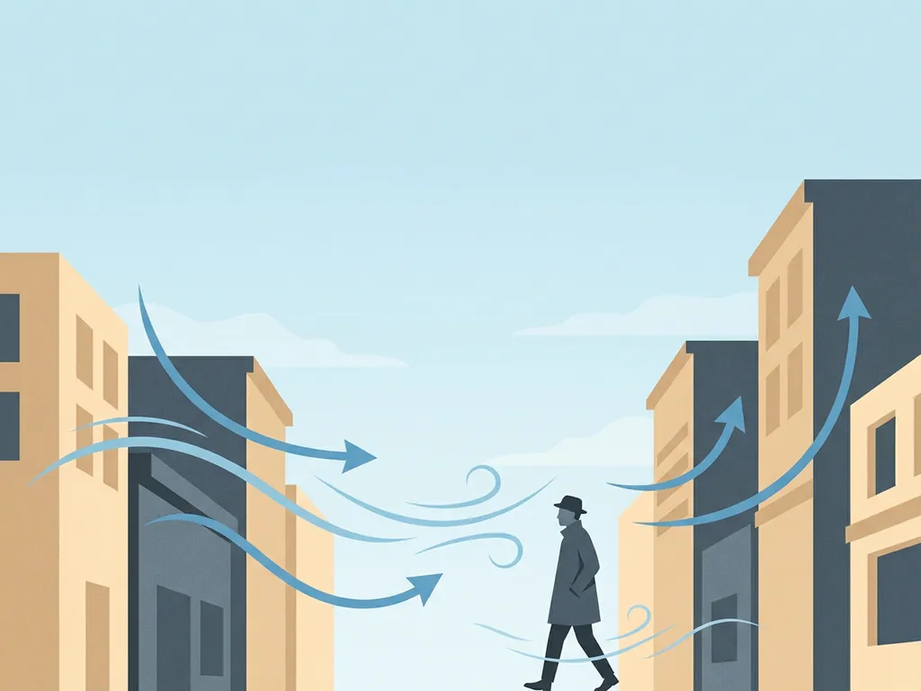
A wind assessment reveals how air moves at street level around a building or area, identifying where wind speeds are too high for comfortable or safe use. It maps specific locations where downwash from tall buildings, channelling between facades, or exposed corners create conditions that affect pedestrians. The sections below answer the most common questions about what a wind assessment actually measures, how results are classified, and what you can do with the findings.
How does wind behave differently at street level than at height?
At height, wind flows relatively freely with few obstructions. At street level, buildings redirect, accelerate, and concentrate that airflow in ways that are hard to predict without measurement or simulation. A tall building acts as a barrier that forces wind downward along its facade, creating strong downward currents that reach the ground and spread outward at pedestrian level.
Several mechanisms drive this. Downwash occurs when wind hits the face of a tall building and is deflected downward toward the street. Corner acceleration happens where airflow wraps around building edges and speeds up. Channelling builds up when streets or gaps between buildings act as corridors that funnel and amplify the wind. A building that is more than twice the height of its surroundings significantly increases the chance of all three effects occurring simultaneously.
The relationship between street width and building height matters too. When the height-to-width ratio exceeds 0.65, most wind is guided over the roofline rather than into the street below. At lower ratios, more wind reaches street level. This is why two buildings of similar height can produce very different pedestrian conditions depending on their spacing and orientation relative to the prevailing wind direction.
What data does a wind assessment actually measure or simulate?
A wind assessment measures or simulates wind speed and direction at pedestrian height, typically at 1.75 metres above ground level, across all relevant wind directions. The output is a probability-weighted picture of conditions throughout the year, not just during storms.
There are two main methods for gathering this data. A physical wind tunnel test uses a scale model of the building and its surroundings placed in a controlled airflow environment. This is well suited to individual buildings and smaller masterplans. CFD (Computational Fluid Dynamics) simulation builds a virtual 3D model of the area and runs airflow calculations across it. For large-scale urban areas, CFD is the practical choice because a wind tunnel large enough to accommodate a city district simply does not exist.
The CFD process starts with a 3D model built from geodata sources such as BRT TOP10NL, 3DBAG, and AHN height data. The space around and between buildings is divided into millions of calculation cells. In the Rotterdam city-wide study we carried out, the mesh contained more than 583 million cells, with cell sizes ranging from 0.25 metres near building surfaces to 4 metres in the core area. Meteorological input comes from official datasets such as KNMI wind measurements, which capture the actual wind climate of the location. The simulation runs for each relevant wind direction, and the results are combined using wind rose data to produce annual probability maps.
What are the wind comfort categories and how are they defined?
Wind comfort categories classify how suitable a location is for a particular type of use, based on the probability that wind speeds will exceed a defined threshold. In the Netherlands, the NEN 8100 standard defines five classes from A to E, where A is comfortable and E indicates dangerous conditions. For international projects, the Lawson criteria serve the same purpose with a comparable classification structure.
The NEN 8100 classes are linked to specific activities:
- Class A: Suitable for all uses, including sitting and relaxing outdoors
- Class B: Suitable for slow walking and standing
- Class C: Suitable for brisk walking only
- Class D: Uncomfortable for most activities; only acceptable in specific locations
- Class E: Dangerous; wind speeds exceed 15 m/s with a probability above 0.30%, which is unacceptable in any public space
The classification is based on the exceedance probability of 5 m/s for comfort and 15 m/s for safety. A location is assessed against the activity that is planned there, so a terrace or playground entrance is held to a stricter standard than a through-route. Understanding which class applies where is something we help clients navigate as part of every wind engineering assessment.
Which locations around a building are most likely to show wind problems?
The locations most likely to show elevated wind conditions are building corners, ground-floor entrances on the windward side, passages through or under buildings, and open plazas directly adjacent to tall facades. These are the areas where downwash, corner acceleration, and channelling effects concentrate.
Specific risk factors include:
- Freestanding tall buildings with no neighbouring structures to break the flow
- Passages and archways oriented toward the prevailing wind direction, which act as pressure shortcuts and accelerate airflow through them
- Rooftop setback levels, which sit directly in the downward flow from the main facade and are rarely suitable as terraces or outdoor workspaces
- Plazas with more than 25% open facade on the windward side, which allow unobstructed wind to enter and accelerate across the open space
- Bridged or elevated structures over open water or low-rise surroundings, where wind arrives without having been slowed by upstream buildings
In the Rotterdam city-wide study, freestanding towers at Kop van Zuid and around Centraal Station, as well as exposed bridge decks, consistently produced the highest wind hindrance classifications. Lloydpier, despite having no official high-rise designation, showed surprisingly high wind nuisance because southwest winds arrive there across low industrial rooftops and open water without obstruction.
How do wind assessment results influence design decisions?
Wind assessment results directly inform decisions about building shape, orientation, facade treatment, and the placement of public functions. When results show problematic wind conditions, there is a clear hierarchy of interventions to consider, starting at the urban planning level and working down to local measures.
At the urban planning level, clustering towers so they shelter each other, limiting height differences between adjacent buildings to around 30%, and orienting streets diagonally rather than parallel to the prevailing wind all reduce wind nuisance before a single building detail is drawn. These decisions are far more effective than trying to fix wind problems later with screens or canopies.
At the building volume level, setbacks of at least 5 metres on a building of around 100 metres high redirect downwash and create a sheltered zone at street level. Avoiding the widest facade perpendicular to the dominant wind direction, and keeping any necessary passages as narrow as possible, both reduce pressure-driven acceleration.
At the local mitigation level, rounded or tapered facades guide wind along the building surface rather than downward. Covered walkways protect pedestrians directly. Planting and screens can improve comfort but are not reliable as primary safety measures, particularly in winter when deciduous trees lose the leaf cover that makes them effective. Relocating a terrace, entrance, or playground by just a few metres can sometimes move it from a Class D to a Class B zone without any structural change at all.
The most important takeaway: wind problems are much easier and cheaper to solve when they are identified early in the design process. A wind assessment at concept stage gives you design freedom. The same assessment after planning approval gives you a repair bill. Our fluid dynamics consultancy works with architects and developers at both stages, but we always recommend starting early.
When is a wind assessment legally required for a building project?
In the Netherlands, a wind assessment is legally required when a building project is likely to create wind conditions that affect pedestrian comfort or safety in public spaces. In practice, this applies to most high-rise developments, large area developments, and projects near open water or in exposed urban locations. The applicable standard is NEN 8100, and municipalities increasingly request a wind study as part of the permit application.
There is no single universal trigger height, but a building that exceeds roughly twice the height of its direct surroundings is generally considered likely to require an assessment. Municipalities differ in how strictly they apply this, which is why knowing the specific policy of the relevant authority matters as much as knowing the standard itself. For projects outside the Netherlands, the Lawson criteria apply, and requirements vary by country and local planning authority.
Beyond legal obligation, many developers commission a wind assessment voluntarily to validate their design before committing to it. Discovering a wind problem at permit stage is significantly more disruptive than identifying it at concept stage, where the building massing can still be adjusted without cost implications.
How Actiflow helps with wind assessments
We carry out wind assessments for architects, developers, structural engineers, and municipalities across the Netherlands, Belgium, the UK, and beyond. With over 21 years of experience and roots at Delft University of Technology, we know both the technical side and the regulatory requirements that differ from one municipality to the next.
- Pedestrian wind comfort assessments using CFD simulation or physical wind tunnel testing, classified to NEN 8100 or Lawson criteria
- Wind loading studies for facades and load-bearing structures
- Large-scale area assessments, including city-wide studies like the one we delivered for Rotterdam
- Clear, colour-coded output maps that you can present directly to clients, planners, or permit authorities
- Practical design advice when results show wind problems, with specific mitigation options ranked by effectiveness
- Fast turnaround, with the flexibility to start the next day for clients with urgent deadlines
Curious how we can help with your wind assessment? Contact us and we will be happy to discuss your project and help you find the right approach. You can also find out more about us and how we work.
