
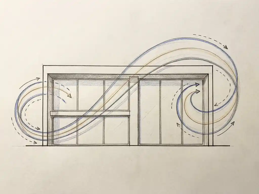
Architects use wind assessment data to make informed design decisions that affect how comfortable, safe, and functional a building will be for the people who use it. A wind study tells you where high-speed airflows concentrate around a building, how the design affects pedestrian conditions at street level, and whether the structure meets the wind loading requirements for its location. The sections below answer the most common questions architects and project managers have about working with wind data in practice.
What does wind assessment data actually show architects?
Wind assessment data shows how air moves around and through a building design, translated into colour-coded maps that identify problem zones, comfortable areas, and potential safety risks at pedestrian level. The output is not just numbers — it is a spatial picture of airflow that architects can read, act on, and share with clients or planning authorities.
A typical wind assessment produces results at eye height (1.75 m above ground) and covers a range of wind directions, weighted by local meteorological data. The maps show where wind speeds exceed comfort thresholds for specific activities — sitting, strolling, or walking through — and where conditions cross into genuinely hazardous territory.
For building design, the most useful outputs include:
- Pedestrian wind comfort maps showing which areas meet which activity class (for example, NEN 8100 classes A through E)
- Wind hazard zones where gusts exceed 15 m/s at eye height, flagging locations unsuitable for public use
- Pressure distribution on facades relevant to structural and cladding design
- Ventilation potential maps showing where airflow is too low for urban heat or air quality management
This data is directly actionable. A corner that shows up as class D or E on a comfort map tells the architect that the current massing, facade orientation, or ground-floor layout needs to change before the design can be approved or built with confidence.
How does wind data influence early-stage building design decisions?
Wind data influences early-stage design by revealing which massing choices, building orientations, and street configurations create wind problems before those decisions become difficult or expensive to reverse. Getting a wind assessment at concept stage means you can adjust the design rather than patch it later.
Several design variables have a direct and predictable effect on wind conditions. Buildings more than twice the height of their surroundings tend to push fast-moving air down to street level. Wide facades oriented perpendicular to the prevailing wind direction amplify this effect. Gaps and passages aligned with dominant wind directions act as pressure shortcuts, accelerating airflow through ground-floor openings.
Practical rules that wind data helps you apply correctly include:
- The street width-to-building height ratio (H/W): below 0.35, most wind reaches the street; above 0.65, most wind passes over the roofline
- Setbacks: effective when at least 5 metres deep for a building of around 100 metres tall
- Tower clustering: grouping towers so they shelter each other, keeping height differences between adjacent buildings within roughly 30%
- Plaza design: more than 25% open facade on the windward side of a square significantly increases the risk of wind nuisance
Early wind data also helps prioritise where to place terraces, entrances, and public seating — locations that should never end up in the windiest spots on the site. Our wind engineering services include quick-scan CFD assessments specifically designed for this early design stage, giving you directional guidance without committing to a full study.
What’s the difference between a wind comfort study and a wind loading assessment?
A wind comfort study evaluates how wind conditions at street level affect the people using a space, while a wind loading assessment calculates the forces that wind exerts on the building structure and facade. They answer different questions and serve different purposes in the design and approval process.
A pedestrian wind comfort study focuses on the outdoor environment around the building. It uses meteorological data and flow simulations to determine how often wind speeds at eye height exceed thresholds for different activities. The result is a comfort classification that planners and municipalities use to assess whether a development is acceptable for its intended public use.
A wind loading assessment focuses on the building itself. It calculates peak wind pressures on facades, roofs, and structural elements to ensure the building can withstand the forces it will experience over its design life. This feeds directly into structural calculations and is required for cladding contractors and structural engineers working to standards such as Eurocode EN 1991-1-4.
The two studies use related methods but serve separate parts of the project team. On a high-rise development, you will typically need both: the comfort study for the planning application, and the loading assessment for the structural and facade engineering packages.
When are architects legally required to commission a wind study?
Whether a wind study is legally required depends on the location and the type of development. In the Netherlands, municipalities commonly require a pedestrian wind comfort assessment — conducted in accordance with NEN 8100 — as part of the permit application for tall buildings, large area developments, or projects in exposed urban locations. For projects in the UK and internationally, the Lawson criteria are the standard reference, and requirements vary by local authority.
In practice, a wind study becomes a permit requirement when:
- A building exceeds a height threshold set by the local municipality (often around 30 metres, but this varies)
- The development significantly changes the urban form in an exposed area
- The project includes large public spaces, plazas, or ground-floor retail that will be used by pedestrians
- A municipality’s environmental policy or spatial plan explicitly lists wind as an assessment criterion
Beyond legal requirements, many architects and developers commission a wind study proactively — particularly when a design involves significant height differences between adjacent buildings, large open facades, or prominent corner locations. Discovering a wind problem after planning approval is far more disruptive than catching it during the design phase. We have over 21 years of experience working with municipalities across the Netherlands and Belgium, and our team knows which local authorities require what format, which norm applies, and what the report needs to contain to hold up under scrutiny. You can find an overview of our full service range on the Actiflow website.
How do architects present wind study results to clients and planners?
Architects present wind study results using colour-coded maps and visual graphics that translate complex airflow data into a format that non-specialists can read and act on. The goal is to show clearly where conditions are acceptable, where they are borderline, and where the design needs to change.
A well-structured wind report for a planning submission typically includes:
- An executive summary stating the assessment method, the norm used, and the overall outcome
- Colour-coded comfort maps showing the classification of each zone around the building (for example, NEN 8100 class A to E, or Lawson equivalent)
- Wind hazard maps flagging any locations where safety thresholds are exceeded
- A comparison of design scenarios if mitigation measures were tested, showing before and after conditions
- Design recommendations in plain language that planners and architects can act on directly
The visual format matters. A permit authority reviewing a planning application does not have time to interpret raw CFD data. Clear maps with a straightforward legend, combined with a short written conclusion, make the difference between a report that gets approved quickly and one that generates questions and delays.
What design changes can fix wind problems identified in an assessment?
Wind problems identified in an assessment can be fixed through a hierarchy of design interventions, starting at the urban planning level and working down to the building detail and public space. The earlier in the design process you act, the more effective and less costly the fix will be.
The most effective interventions, roughly in order of impact:
- Massing and orientation changes: rotating the building, reducing width on the windward face, or adjusting height transitions between adjacent buildings
- Setbacks: stepping the facade back at lower floors to break up the downwash from tall facades; at least 5 metres deep for buildings around 100 metres tall
- Aerodynamic facade design: rounded or tapered facades guide wind around the building rather than directing it downward
- Covered walkways and galleries: protect pedestrians directly; need to be at least 5 metres deep to be effective, and the area beside the gallery remains exposed
- Screens and barriers: redirect wind locally but can cause acceleration at their edges and may affect sightlines or perceived safety
- Planting: trees and hedges improve comfort but are not a primary safety measure; deciduous trees lose their leaves in winter when wind speeds are highest
- Function placement: moving terraces, entrances, and play areas away from the windiest spots — sometimes a shift of just a few metres is enough
One principle worth keeping in mind: solving wind problems at building level is much harder if wind was not considered at the urban planning stage. A single tower surrounded by low-rise development will always be more difficult to mitigate than a cluster of towers designed together to shelter each other. The Rotterdam city-wide wind study — one of the largest urban CFD assessments carried out in the Netherlands — demonstrated exactly this: developments like Wijnhaveneiland achieved near-complete class A comfort classification through deliberate tower clustering and strategic setbacks, while isolated tall buildings in the same city created persistent wind hazard zones at street level.
How Actiflow helps with wind assessment in building design
We work with architects, project managers, structural engineers, and developers at every stage of the design process — from a quick-scan assessment at concept stage to a full NEN 8100 or Lawson-compliant report for a planning submission.
Here is what working with us looks like in practice:
- Early design support: quick CFD scans that give you directional guidance on massing and orientation before the design is locked in
- Full pedestrian wind comfort assessments: compliant with NEN 8100 (Netherlands) or Lawson criteria (UK and international projects), with colour-coded maps ready to submit to municipalities
- Wind loading studies: facade pressure calculations for structural engineers and cladding contractors, in line with Eurocode EN 1991-1-4
- Large-scale area studies: city-wide or masterplan-level assessments using CFD, as we carried out for the city of Rotterdam
- Clear, visual reporting: outputs designed to be shared directly with clients, planners, and permit authorities — no translation needed
- Fast turnaround: for regular clients, we set everything aside to start the next day if the project timeline demands it
Curious how we can help with wind assessment for your building project? Contact us and we will be happy to discuss your project and help you find the right approach. You can also learn more about us and our background in fluid dynamics engineering.
